Close arrow_back
- menu title
-
Custom Menu
add remove
-
Navigation
add remove
-
menu title
add remove
-
menu title
add remove
-
menu title
add remove
-
menu title
add remove
-
menu title
add remove
- menu title
-
Custom Menu
add remove
- Navigation add remove
-
menu title
add remove
-
menu title
add remove
-
menu title
add remove
-
menu title
add remove
-
menu title
add remove
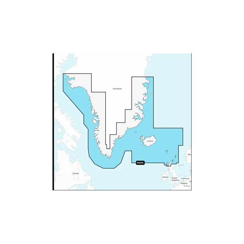
Mapa elektronicyna Navionics +Grenlandia i Islandia
Szczegółowa mapa Grenlandii, Islandii, Wysp Owczych, Szetlandów, Orkadów i północnego cypla Wielkiej Brytanii. Obejmuje Godhavn (Qeqertarsuaq) i Godthab (Nuuk) w Grenlandii; Reykjavik i Akureyri na Islandii; Torshavn, Lerwick, Stromness, Kirkwall i Thurso w Zjednoczonym Królestwie.
Podobne z kategorii
Availability: 9 In Stock
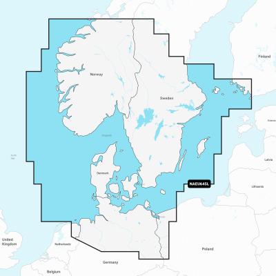
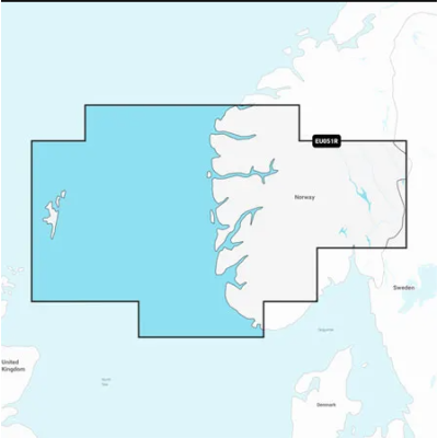
Detailed coverage of the coasts of Norway and Sweden from Flekkefjord, Norway to Ystad, Sweden and the entire coast of Denmark. Coverage includes the Limfjord, the Kattegat, the Orosund, Læsø, Bornholm and Lakes Fryken, Siljan, Vänern, Vättern, Mjörn, Sommen, Nommen, and Bolmen in Sweden. Ports include Oslo and Kristiansand, Norway; Copenhagen and Aarhus, Denmark and Gothenburg and Malmö, Sweden.
Availability: Out of stock
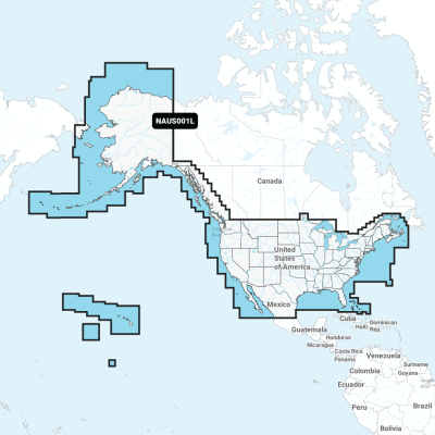
Detailed coverage of the entire U.S. coasts, lakes, rivers and inland waterways, plus Alaska and Hawaii. Canada coverage of coastal British Columbia, the Great Lakes, the St. Lawrence Seaway, New Brunswick and Nova Scotia. Coverage includes Bermuda, the Bahamas, Baja California, the Gulf of California, Johnston Atoll and Palmyra Atoll/Kingman Reef.
Availability: Out of stock
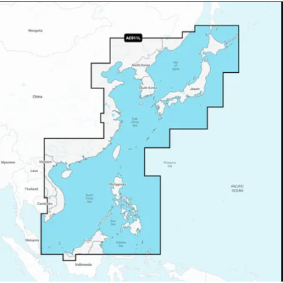
Mapa wybrzeża wschodniej Azji — od Władywostoku w Rosji do delty rzeki Mekong. Mapa obejmuje Wyspy Japońskie, Półwysep Koreański, Tajwan, Brunei i Filipiny oraz porty w Szanghaju, Dalian, Hongkongu i Pusan.
Availability: Out of stock
Coastal coverage of Mexico, Central America and Brazil. Coverage includes the US Gulf Coast and the eastern US coast to Savannah, GA; Bermuda; the Bahamas; Cuba; Hispaniola; Puerto Rico and the Virgin Islands; the Windward and Leeward Islands; Jamaica; the Panama Canal, the western coast of South America to Arica, Chile; the Galapagos Islands; the Revillagigedo Islands; the Ilha Fernando de Noronha; the Saint Peter and Saint Paul Archipelago and the Rocas Atoll.
Availability: Out of stock
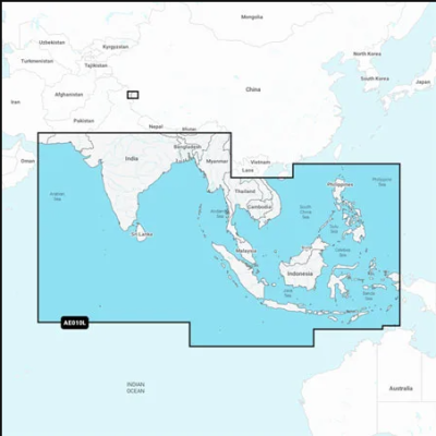
Coastal coverage of the South Asian coast and the Indian Ocean from Gwadar, PK to Da Nang, VN and the South China Sea. Includes India, Ceylon, Bangladesh, Myanmar, Thailand, Malaysia, Singapore, Cambodia, Indonesia, Brunei, the Philippines, the Andaman and Nicobar Islands, the Cocos Islands, Christmas Island, and the Maldives. Lakes Pangong and Spanggur are also covered.




 Cookies