Close arrow_back
- menu title
-
Custom Menu
add remove
-
Navigation
add remove
-
menu title
add remove
-
menu title
add remove
-
menu title
add remove
-
menu title
add remove
-
menu title
add remove
- menu title
-
Custom Menu
add remove
- Navigation add remove
-
menu title
add remove
-
menu title
add remove
-
menu title
add remove
-
menu title
add remove
-
menu title
add remove
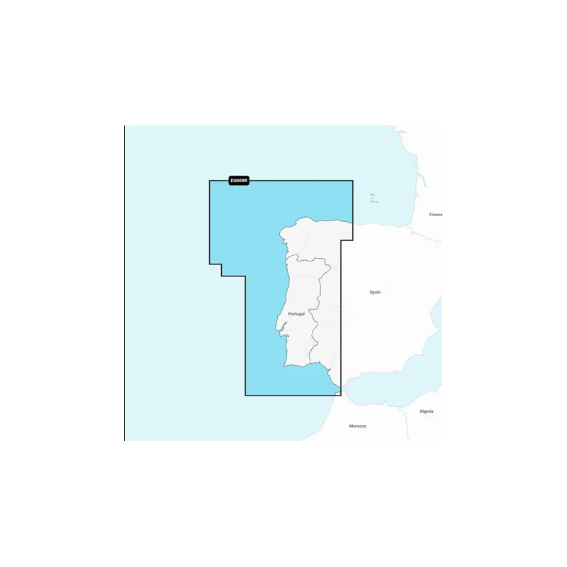
Mapa Navionics+ Portugalia i Hiszpania, część północno-zachodnia
Mapa wybrzeża atlantyckiego Hiszpanii i całej Portugalii od Gijon do Kadyksu włącznie z Lizboną i rzeką Gwadalkiwir do Sewilli w Hiszpanii.
Podobne z kategorii
Availability: 1 In Stock
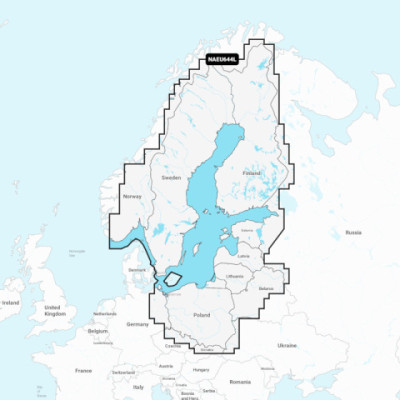
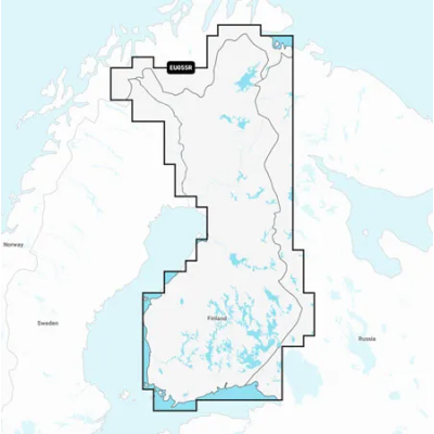
Detailed coverage of the Baltic Sea and lakes of Scandinavia and Poland. Coverage includes the Gulfs of Bothnia, Finland and Riga; the Masurian Lakes in Poland, the Szczecin Lagoon, Lake Peipus; Lakes Mjøsa, Bandak and Norsjø in Norway; Lakes Vänern, Vättern, Siljan and Storavan in Sweden; Inarijarvi, Miekojarvi, Simojarvi, and Kiantajarvi in Finland among many others. Ports include Oslo, Norway; Malmo and Stockholm, Sweden; Oulu and Helsinki, Finland; St Petersburg and Kaliningrad, Russia; Gdansk, Poland.
Availability: Out of stock
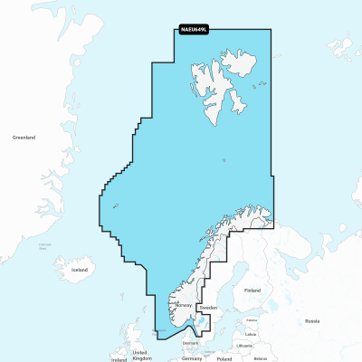
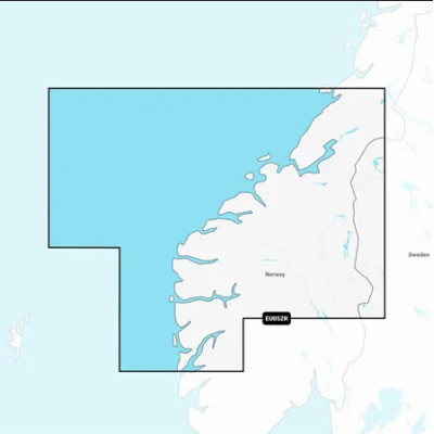
Detailed coverage of the entire coast of Norway and parts of Sweden. Coverage includes the Oslofjord; the Sognefjord; the Vestfjorden; Jan Mayen Island; Svalbard; Lakes Mjøsa, Bandak, Kviteseidvatnet, Flåvatn and Norsjø and the Telemark Canal in Norway; Lakes Vänern and Vättern and the Trollhätte and Göta Canals in Sweden. Ports include Gothenburg in Sweden and Kristiansand, Stavanger, Bergen, Trondheim, Tromsø and Narvik in Norway.
Availability: Out of stock
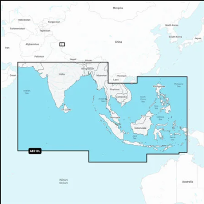
Coastal coverage of the South Asian coast and the Indian Ocean from Gwadar, PK to Da Nang, VN and the South China Sea. Includes India, Ceylon, Bangladesh, Myanmar, Thailand, Malaysia, Singapore, Cambodia, Indonesia, Brunei, the Philippines, the Andaman and Nicobar Islands, the Cocos Islands, Christmas Island, and the Maldives. Lakes Pangong and Spanggur are also covered.
Availability: 9 In Stock
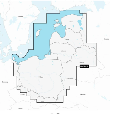
Coastal coverage of the Baltic Sea coasts of Poland, Russia, Lithuania, Latvia and Estonia from the German border to Narva-Jõesuu, EE and the lakes and rivers of Poland, Belarus and the Baltic States. Coverage includes the Gulf of Riga, the Szczecin, Vistula and Kurshskiy Lagoons, the islands of Gotland, Saaremaa and Hiiumaa, the Oder, Vistula, Bug, Neman, Emajõgi and Daugava Rivers, Lakes Peipus, Pihkva and Vörtsjäve, the Masurian District Lakes including Lake Jeziorak, Lake Łańskie and Lake Śniardwy and Lakes Snudy/Strusto, Miastra, Batorino, Lukomshoye and Selyava in Belarus. Ports include Tallinn, Estonia; Riga, Latvia; Gydnia and Gdansk, Poland and Kaliningrad, Russia.
Availability: Out of stock
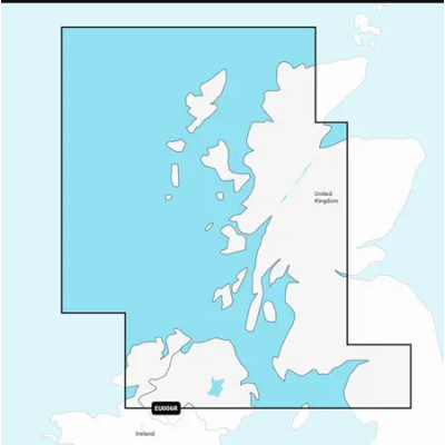
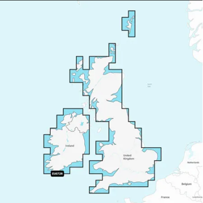
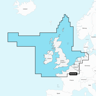
Detailed coverage of the UK, Ireland and the North Sea and English Channel coasts. Coverage includes the Shetland Islands, Orkney Islands, Isle of Man, Isle of Wight, the Isles of Scilly, the Channel Islands, the Thames River, the IJsselmeer, the Waddenzee and the Kiel Canal. Ports include London, Liverpool, Southampton, Edinburgh and Belfast, UK; Dublin and Cork, Ireland; Brest, Le Havre, Calais and Dunkirk, France; Antwerp, Belgium; Amsterdam and Rotterdam, The Netherlands; Bremerhaven, Hamburg and Kiel, Germany.



 Cookies