Close arrow_back
- menu title
-
Custom Menu
add remove
-
Navigation
add remove
-
menu title
add remove
-
menu title
add remove
-
menu title
add remove
-
menu title
add remove
-
menu title
add remove
- menu title
-
Custom Menu
add remove
- Navigation add remove
-
menu title
add remove
-
menu title
add remove
-
menu title
add remove
-
menu title
add remove
-
menu title
add remove
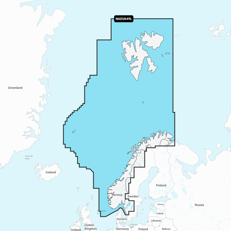
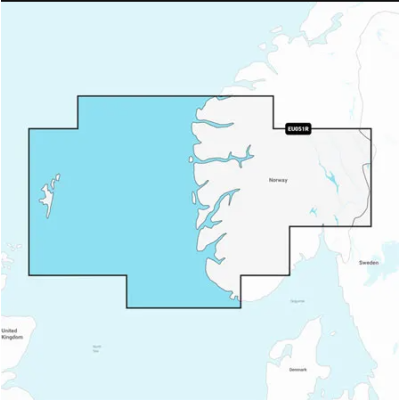
Mapa elektroniczna Navionics+ Norway
Detailed coverage of the entire coast of Norway and parts of Sweden. Coverage includes the Oslofjord; the Sognefjord; the Vestfjorden; Jan Mayen Island; Svalbard; Lakes Mjøsa, Bandak, Kviteseidvatnet, Flåvatn and Norsjø and the Telemark Canal in Norway; Lakes Vänern and Vättern and the Trollhätte and Göta Canals in Sweden. Ports include Gothenburg in Sweden and Kristiansand, Stavanger, Bergen, Trondheim, Tromsø and Narvik in Norway.
Szczegółowa mapa całego wybrzeża Norwegii i części Szwecji. Obejmuje Oslofjord; Sognefjord; Vestfjorden; wyspę Jan Mayen; Svalbard; jeziora Mjøsa, Bandak, Kviteseidvatnet, Flåvatn i Norsjø oraz kanał Telemark w Norwegii; jeziora Vänern i Vättern oraz kanały Trollhätte i Göta w Szwecji. Porty obejmują Göteborg w Szwecji oraz Kristiansand, Stavanger, Bergen, Trondheim, Tromsø i Narvik w Norwegii.
Podobne z kategorii
Availability: Out of stock
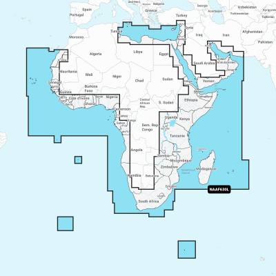
Coastal coverage of the coast of Africa from Tripoli, Libya thru the Red Sea and around the Cape to Dakar, Senegal including the Suez Canal and the Levant, the coast of the Arabian Peninsula, the Persian Gulf, Madagascar, Socotra, Zanzibar, Reunion, Mauritius, the Seychelles, the Comoros, the Prince Edward Islands, Tristan de Cunha, St Helena Island, Ascension Island, the Cape Verde Islands, Malta and Cyprus. Coverage of ports such as Alexandria, Egypt; Djibouti; Manama, Bahrain; Dubai; Cape Town, South Africa and Lagos, Nigeria are included.
Availability: 9 In Stock
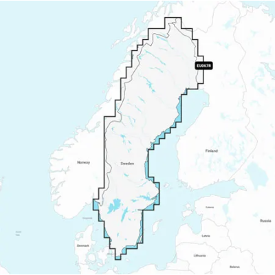
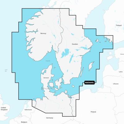
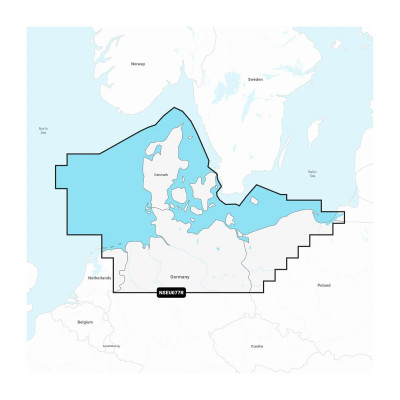
Detailed coverage of the coasts of Norway and Sweden from Flekkefjord, Norway to Ystad, Sweden and the entire coast of Denmark. Coverage includes the Limfjord, the Kattegat, the Orosund, Læsø, Bornholm and Lakes Fryken, Siljan, Vänern, Vättern, Mjörn, Sommen, Nommen, and Bolmen in Sweden. Ports include Oslo and Kristiansand, Norway; Copenhagen and Aarhus, Denmark and Gothenburg and Malmö, Sweden.
Availability: Out of stock
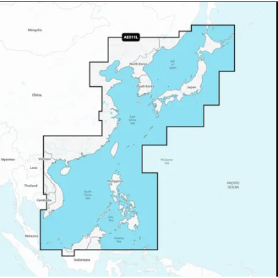
Mapa wybrzeża wschodniej Azji — od Władywostoku w Rosji do delty rzeki Mekong. Mapa obejmuje Wyspy Japońskie, Półwysep Koreański, Tajwan, Brunei i Filipiny oraz porty w Szanghaju, Dalian, Hongkongu i Pusan.
Availability: Out of stock
Coastal coverage of Mexico, Central America and Brazil. Coverage includes the US Gulf Coast and the eastern US coast to Savannah, GA; Bermuda; the Bahamas; Cuba; Hispaniola; Puerto Rico and the Virgin Islands; the Windward and Leeward Islands; Jamaica; the Panama Canal, the western coast of South America to Arica, Chile; the Galapagos Islands; the Revillagigedo Islands; the Ilha Fernando de Noronha; the Saint Peter and Saint Paul Archipelago and the Rocas Atoll.
Availability: Out of stock
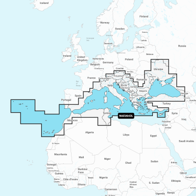
Detailed coverage of the Mediterranean and Black Seas. Coverage includes the Azores, Madeira, the Canary Islands, Gibraltar, the Balearic Islands, Corsica, Sardinia, Sicily, Malta, Crete, Cyprus, the Dardanelles, the Bosporos, the Sea of Azov, the Dneiper River to the Kyivs'ke Reservoir, the Danube River to Passau, Germany, Lake Balaton, Lake Garda, Lake Como and Lake Maggiore. Ports include Cadiz and Barcelona, Spain; Monaco; Marseille and Toulon, France; Genoa, Naples, Taranto and Venice, Italy; Istanbul, Turkey; Odessa, Ukraine; Tunis, Tunisia and Algiers, Algeria.




 Cookies