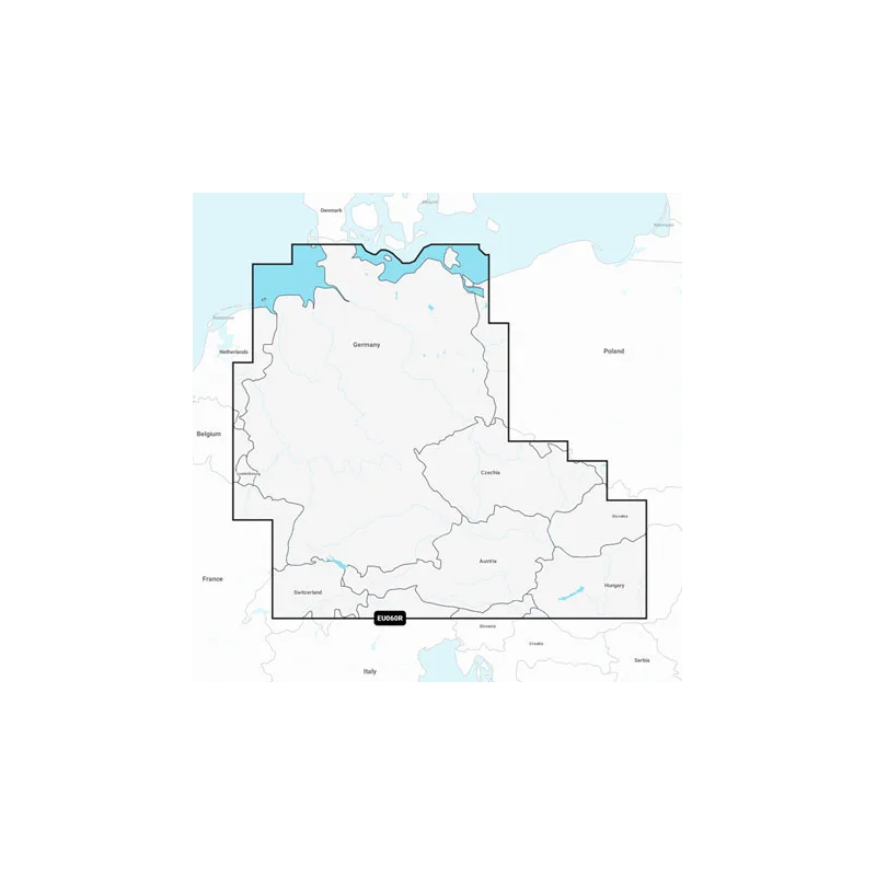
Szczegółowa mapa niemieckiego Morza Północnego i wybrzeża Bałtyku, niemieckiego systemu śródlądowych dróg wodnych oraz licznych jezior. Mapa obejmuje całość rzeki Ren, rzekę Główną do Bambergu, rzekę Dunaj do Budapesztu, rzekę Saar, rzekę Mozelę do Metz w Francji; rzekę Ems, Wezerę, Łabę do Chvaletice w Czechach, Wełtawę do Trebenic w Czechach, rzekę Hawelę, cały Kanał Ren-Men-Dunaj, Kanał Odra-Hawela, Kanał Łaba-Hawela, Kanał Łaba-Seiten, Kanał Müritz, Kanał Kiloński/Łaba-Lubeka/Flensburg, Kanał Mittelland, Jezioro Bodeńskie, Jezioro Zuryskie, Jezioro Balaton oraz liczne inne jeziora, w tym Chiemsee, Attersee i Neusiedler See.
Close arrow_back
- menu title
-
Custom Menu
add remove
-
Navigation
add remove
-
menu title
add remove
-
menu title
add remove
-
menu title
add remove
-
menu title
add remove
-
menu title
add remove
- menu title
-
Custom Menu
add remove
- Navigation add remove
-
menu title
add remove
-
menu title
add remove
-
menu title
add remove
-
menu title
add remove
-
menu title
add remove
Mapa Navionics+ Niemcy, jeziora i rzeki
Podobne z kategorii
Availability: Out of stock
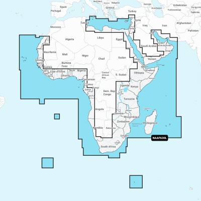
Coastal coverage of the coast of Africa from Tripoli, Libya thru the Red Sea and around the Cape to Dakar, Senegal including the Suez Canal and the Levant, the coast of the Arabian Peninsula, the Persian Gulf, Madagascar, Socotra, Zanzibar, Reunion, Mauritius, the Seychelles, the Comoros, the Prince Edward Islands, Tristan de Cunha, St Helena Island, Ascension Island, the Cape Verde Islands, Malta and Cyprus. Coverage of ports such as Alexandria, Egypt; Djibouti; Manama, Bahrain; Dubai; Cape Town, South Africa and Lagos, Nigeria are included.
Availability: 9 In Stock
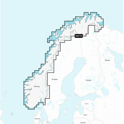
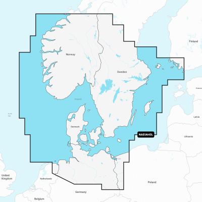
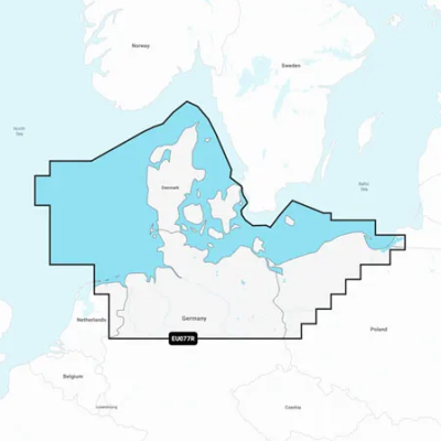
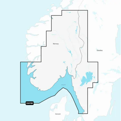
Detailed coverage of the coasts of Norway and Sweden from Flekkefjord, Norway to Ystad, Sweden and the entire coast of Denmark. Coverage includes the Limfjord, the Kattegat, the Orosund, Læsø, Bornholm and Lakes Fryken, Siljan, Vänern, Vättern, Mjörn, Sommen, Nommen, and Bolmen in Sweden. Ports include Oslo and Kristiansand, Norway; Copenhagen and Aarhus, Denmark and Gothenburg and Malmö, Sweden.
Availability: Out of stock
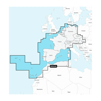
Detailed coverage of central and western Europe. Coverage includes the European coast from the Szczecin Lagoon to Monaco; the Azores; Madeira; the Canary Islands; the Balearics; Corsica and Sardinia; Gibraltar, the English Channel; the Channel Islands; the IJsselmeer; the rivers of France, Germany and the Low Countries; Lakes Maggiore, Como, Garda, Geneva, Constance and Balaton.
Availability: Out of stock
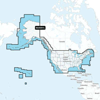
Detailed coverage of the entire U.S. coasts, lakes, rivers and inland waterways, plus Alaska and Hawaii. Canada coverage of coastal British Columbia, the Great Lakes, the St. Lawrence Seaway, New Brunswick and Nova Scotia. Coverage includes Bermuda, the Bahamas, Baja California, the Gulf of California, Johnston Atoll and Palmyra Atoll/Kingman Reef.



 Cookies