Close arrow_back
- menu title
-
Custom Menu
add remove
-
Navigation
add remove
-
menu title
add remove
-
menu title
add remove
-
menu title
add remove
-
menu title
add remove
-
menu title
add remove
- menu title
-
Custom Menu
add remove
- Navigation add remove
-
menu title
add remove
-
menu title
add remove
-
menu title
add remove
-
menu title
add remove
-
menu title
add remove
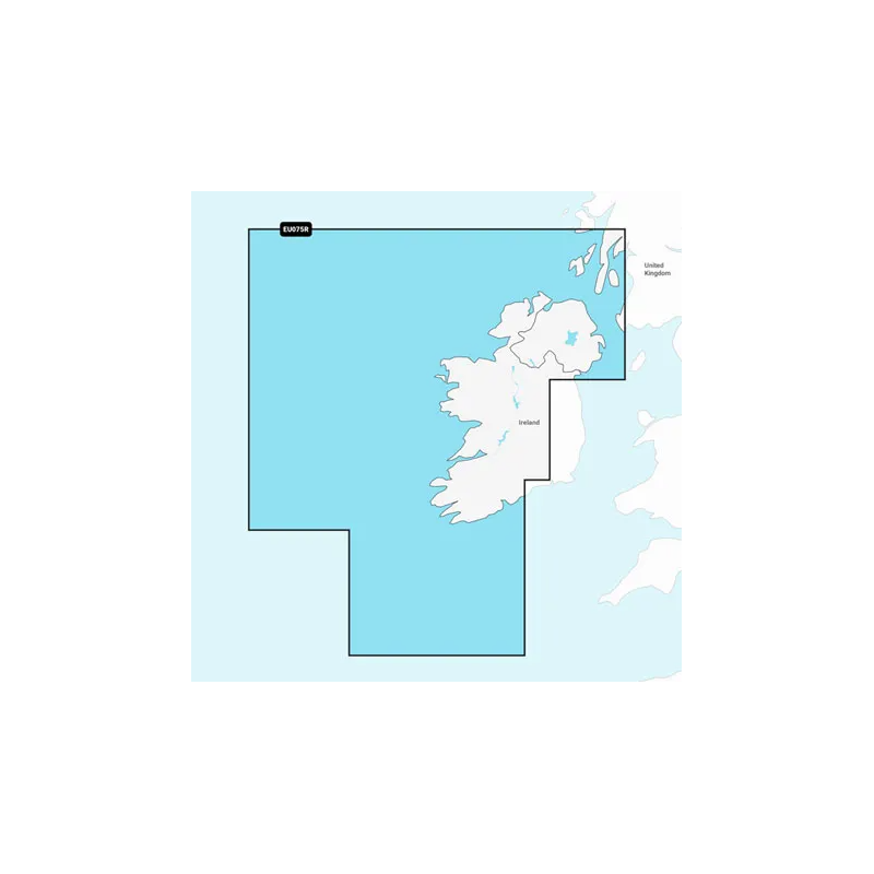
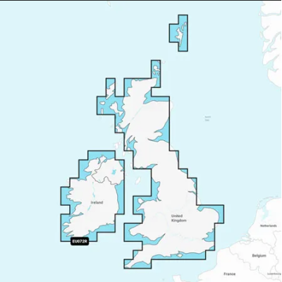
Mapa Navionics+ Irlandia, zachodnie wybrzeże
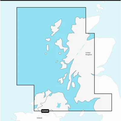
Mapa północnego i zachodniego wybrzeża Irlandii od Cork do Belfastu, obejmujące w całości szlaki wodne Shannon Inland i Shannon-Erne Waterways, Galway Bay i Lough Neagh. Obejmują także południowo-zachodnie wybrzeże Szkocji od Colonsay do Campbeltown.
Podobne z kategorii
Availability: Out of stock
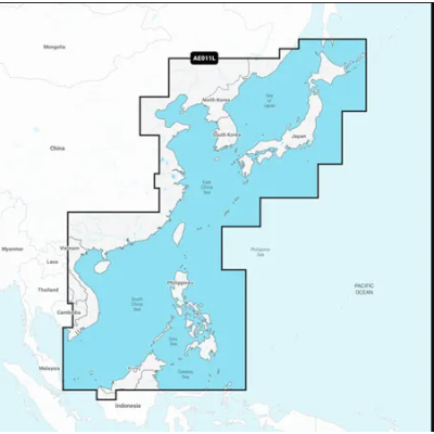
Mapa wybrzeża wschodniej Azji — od Władywostoku w Rosji do delty rzeki Mekong. Mapa obejmuje Wyspy Japońskie, Półwysep Koreański, Tajwan, Brunei i Filipiny oraz porty w Szanghaju, Dalian, Hongkongu i Pusan.
Availability: Out of stock
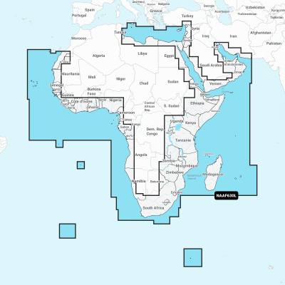
Coastal coverage of the coast of Africa from Tripoli, Libya thru the Red Sea and around the Cape to Dakar, Senegal including the Suez Canal and the Levant, the coast of the Arabian Peninsula, the Persian Gulf, Madagascar, Socotra, Zanzibar, Reunion, Mauritius, the Seychelles, the Comoros, the Prince Edward Islands, Tristan de Cunha, St Helena Island, Ascension Island, the Cape Verde Islands, Malta and Cyprus. Coverage of ports such as Alexandria, Egypt; Djibouti; Manama, Bahrain; Dubai; Cape Town, South Africa and Lagos, Nigeria are included.
Availability: Out of stock
Coastal coverage of Mexico, Central America and Brazil. Coverage includes the US Gulf Coast and the eastern US coast to Savannah, GA; Bermuda; the Bahamas; Cuba; Hispaniola; Puerto Rico and the Virgin Islands; the Windward and Leeward Islands; Jamaica; the Panama Canal, the western coast of South America to Arica, Chile; the Galapagos Islands; the Revillagigedo Islands; the Ilha Fernando de Noronha; the Saint Peter and Saint Paul Archipelago and the Rocas Atoll.
Availability: 9 In Stock
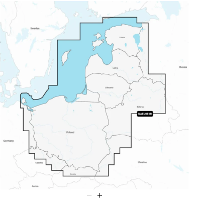
Coastal coverage of the Baltic Sea coasts of Poland, Russia, Lithuania, Latvia and Estonia from the German border to Narva-Jõesuu, EE and the lakes and rivers of Poland, Belarus and the Baltic States. Coverage includes the Gulf of Riga, the Szczecin, Vistula and Kurshskiy Lagoons, the islands of Gotland, Saaremaa and Hiiumaa, the Oder, Vistula, Bug, Neman, Emajõgi and Daugava Rivers, Lakes Peipus, Pihkva and Vörtsjäve, the Masurian District Lakes including Lake Jeziorak, Lake Łańskie and Lake Śniardwy and Lakes Snudy/Strusto, Miastra, Batorino, Lukomshoye and Selyava in Belarus. Ports include Tallinn, Estonia; Riga, Latvia; Gydnia and Gdansk, Poland and Kaliningrad, Russia.
Availability: Out of stock
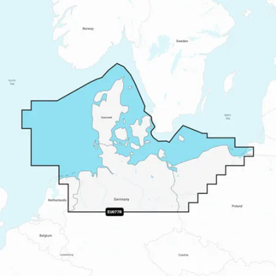
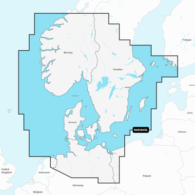
Detailed coverage of the Skagerrak and Kattegat and the approaches to them. Coverage includes the Scandinavian coast from Kristiansund, Norway to Gavle, Sweden; the Aland Islands; Turku, Finland; Gotland and Bornholm Islands; the Szczecin Lagoon; the Kiel Canal and all of Denmark. Ports include Oslo, Norway; Malmo and Stockholm, Sweden; Copenhagen and Aarhus, Denmark and Hamburg, Germany. Lakes include but are not limited to Lakes Vänern, Vättern, Mjörn, Sommen and Uddjuar in Sweden and Lakes Mjøsa, Bandak, Flåvatn, Norsjø and the Telemark Canal in Norway.




 Cookies