Close arrow_back
- menu title
-
Custom Menu
add remove
-
Navigation
add remove
-
menu title
add remove
-
menu title
add remove
-
menu title
add remove
-
menu title
add remove
-
menu title
add remove
- menu title
-
Custom Menu
add remove
- Navigation add remove
-
menu title
add remove
-
menu title
add remove
-
menu title
add remove
-
menu title
add remove
-
menu title
add remove
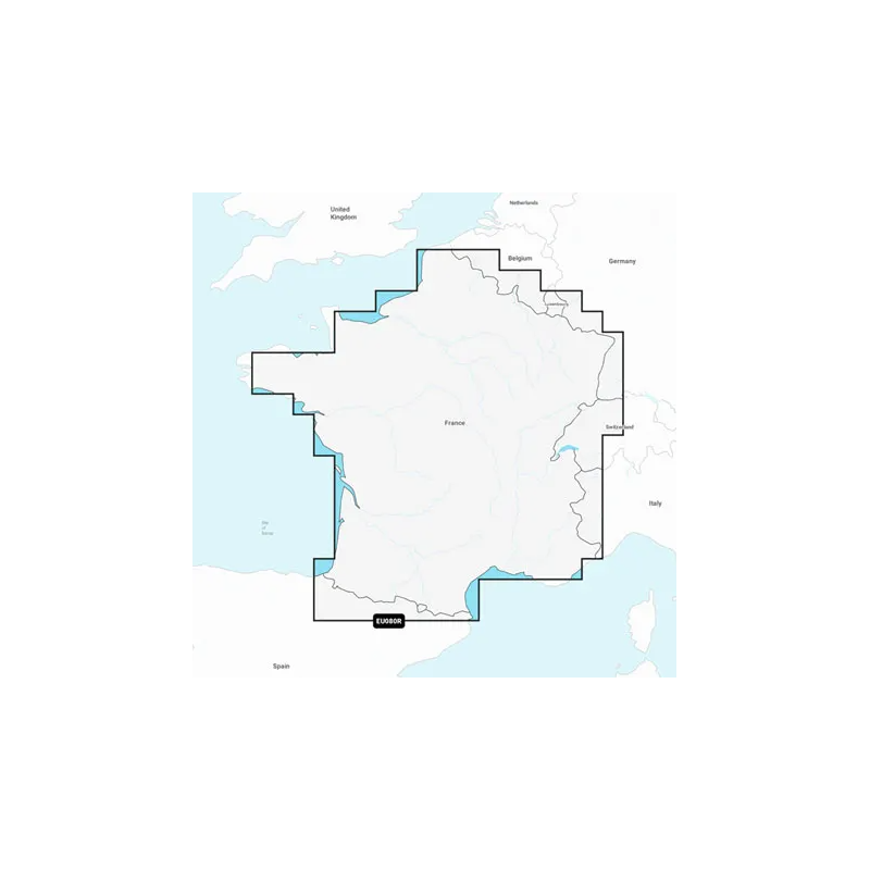
Mapa Navionics+ Francja, jeziora i rzeki
Szczegółowa mapa wewnętrznej Francji, w tym systemów rzecznych Adour, Garonne, Charente, Loary, Sekwany i Rodanu. Uwzględniono także rzeki Sevre-Nantaise, Sommę, Mozę, Mozelę i Saone, Ren od Bazylei w Szwajcarii do Karlsruhe w Niemczech; jezioro Leman (Genewskie), jezioro Neuchatel, jezioro Biel, jezioro Morat, Canal du Midi, Canal du Centre i kanał Ren-Rhone.
Podobne z kategorii
Availability: Out of stock
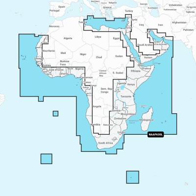
Coastal coverage of the coast of Africa from Tripoli, Libya thru the Red Sea and around the Cape to Dakar, Senegal including the Suez Canal and the Levant, the coast of the Arabian Peninsula, the Persian Gulf, Madagascar, Socotra, Zanzibar, Reunion, Mauritius, the Seychelles, the Comoros, the Prince Edward Islands, Tristan de Cunha, St Helena Island, Ascension Island, the Cape Verde Islands, Malta and Cyprus. Coverage of ports such as Alexandria, Egypt; Djibouti; Manama, Bahrain; Dubai; Cape Town, South Africa and Lagos, Nigeria are included.
Availability: Out of stock
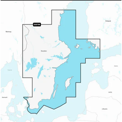
Detailed coverage of the Skagerrak and Kattegat and the approaches to them. Coverage includes the Scandinavian coast from Kristiansund, Norway to Gavle, Sweden; the Aland Islands; Turku, Finland; Gotland and Bornholm Islands; the Szczecin Lagoon; the Kiel Canal and all of Denmark. Ports include Oslo, Norway; Malmo and Stockholm, Sweden; Copenhagen and Aarhus, Denmark and Hamburg, Germany. Lakes include but are not limited to Lakes Vänern, Vättern, Mjörn, Sommen and Uddjuar in Sweden and Lakes Mjøsa, Bandak, Flåvatn, Norsjø and the Telemark Canal in Norway.
Availability: 9 In Stock
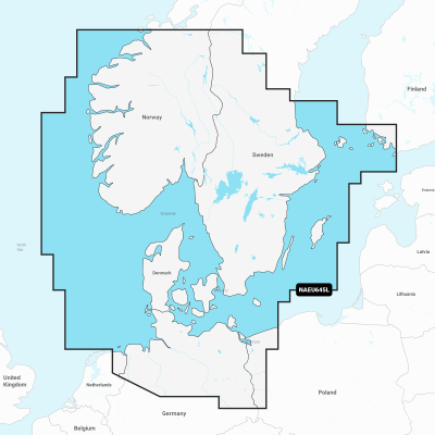
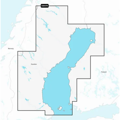
Detailed coverage of the coasts of Norway and Sweden from Flekkefjord, Norway to Ystad, Sweden and the entire coast of Denmark. Coverage includes the Limfjord, the Kattegat, the Orosund, Læsø, Bornholm and Lakes Fryken, Siljan, Vänern, Vättern, Mjörn, Sommen, Nommen, and Bolmen in Sweden. Ports include Oslo and Kristiansand, Norway; Copenhagen and Aarhus, Denmark and Gothenburg and Malmö, Sweden.
Availability: Out of stock
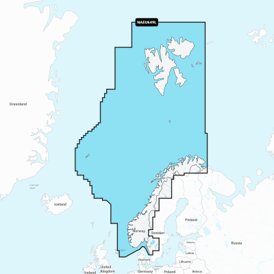
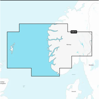
Detailed coverage of the entire coast of Norway and parts of Sweden. Coverage includes the Oslofjord; the Sognefjord; the Vestfjorden; Jan Mayen Island; Svalbard; Lakes Mjøsa, Bandak, Kviteseidvatnet, Flåvatn and Norsjø and the Telemark Canal in Norway; Lakes Vänern and Vättern and the Trollhätte and Göta Canals in Sweden. Ports include Gothenburg in Sweden and Kristiansand, Stavanger, Bergen, Trondheim, Tromsø and Narvik in Norway.
Availability: Out of stock
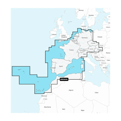
Detailed coverage of central and western Europe. Coverage includes the European coast from the Szczecin Lagoon to Monaco; the Azores; Madeira; the Canary Islands; the Balearics; Corsica and Sardinia; Gibraltar, the English Channel; the Channel Islands; the IJsselmeer; the rivers of France, Germany and the Low Countries; Lakes Maggiore, Como, Garda, Geneva, Constance and Balaton.
Availability: Out of stock
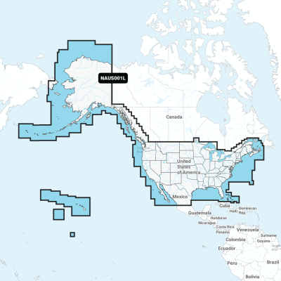
Detailed coverage of the entire U.S. coasts, lakes, rivers and inland waterways, plus Alaska and Hawaii. Canada coverage of coastal British Columbia, the Great Lakes, the St. Lawrence Seaway, New Brunswick and Nova Scotia. Coverage includes Bermuda, the Bahamas, Baja California, the Gulf of California, Johnston Atoll and Palmyra Atoll/Kingman Reef.



 Cookies