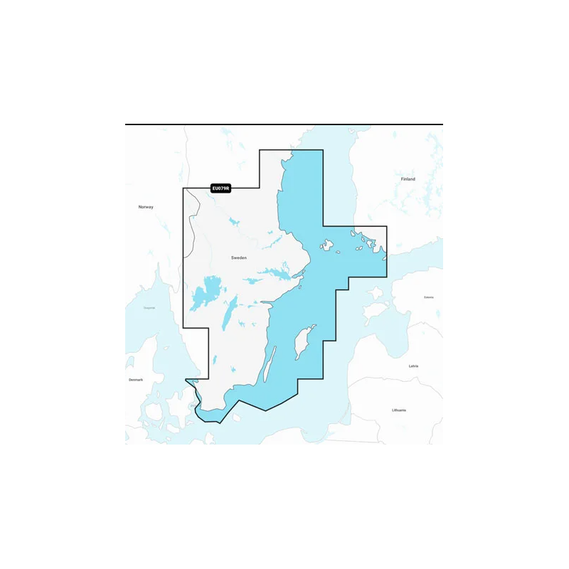
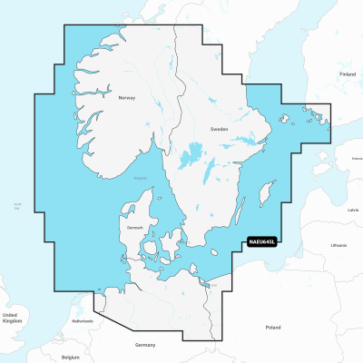
Szczegółowa mapa południowego i wschodniego wybrzeża Szwecji od Helsingborga do Sundsvall, w tym Trelleborg, Nykoping, Sztokholm, Norrtalje, Karlsborg oraz południowo-zachodni kraniec Finlandii, w tym Turku. Mapa obejmuje wyspy Olandia, Gotlandia i Wyspy Alandzkie; jeziora Vänern, Vättern, Sommen, Siljan, Runn, Fryken i Helgasjön; dolny odcinek Dalälven od Gysinge do Söderfors; Göta Kanal i Strömsholms Kanal do Smedjebacken.
Close arrow_back
- menu title
-
Custom Menu
add remove
-
Navigation
add remove
-
menu title
add remove
-
menu title
add remove
-
menu title
add remove
-
menu title
add remove
-
menu title
add remove
- menu title
-
Custom Menu
add remove
- Navigation add remove
-
menu title
add remove
-
menu title
add remove
-
menu title
add remove
-
menu title
add remove
-
menu title
add remove
Mapa Navionics+ Szwecja, część południowo-wschodnia
Podobne z kategorii
Availability: 1 In Stock
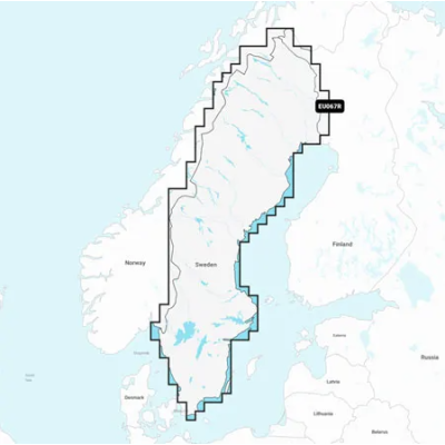
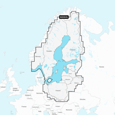
Detailed coverage of the Baltic Sea and lakes of Scandinavia and Poland. Coverage includes the Gulfs of Bothnia, Finland and Riga; the Masurian Lakes in Poland, the Szczecin Lagoon, Lake Peipus; Lakes Mjøsa, Bandak and Norsjø in Norway; Lakes Vänern, Vättern, Siljan and Storavan in Sweden; Inarijarvi, Miekojarvi, Simojarvi, and Kiantajarvi in Finland among many others. Ports include Oslo, Norway; Malmo and Stockholm, Sweden; Oulu and Helsinki, Finland; St Petersburg and Kaliningrad, Russia; Gdansk, Poland.
Availability: Out of stock
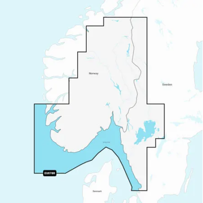
Detailed coverage of the Skagerrak and Kattegat and the approaches to them. Coverage includes the Scandinavian coast from Kristiansund, Norway to Gavle, Sweden; the Aland Islands; Turku, Finland; Gotland and Bornholm Islands; the Szczecin Lagoon; the Kiel Canal and all of Denmark. Ports include Oslo, Norway; Malmo and Stockholm, Sweden; Copenhagen and Aarhus, Denmark and Hamburg, Germany. Lakes include but are not limited to Lakes Vänern, Vättern, Mjörn, Sommen and Uddjuar in Sweden and Lakes Mjøsa, Bandak, Flåvatn, Norsjø and the Telemark Canal in Norway.
Availability: 9 In Stock
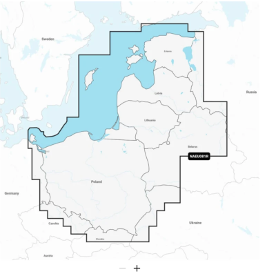
Coastal coverage of the Baltic Sea coasts of Poland, Russia, Lithuania, Latvia and Estonia from the German border to Narva-Jõesuu, EE and the lakes and rivers of Poland, Belarus and the Baltic States. Coverage includes the Gulf of Riga, the Szczecin, Vistula and Kurshskiy Lagoons, the islands of Gotland, Saaremaa and Hiiumaa, the Oder, Vistula, Bug, Neman, Emajõgi and Daugava Rivers, Lakes Peipus, Pihkva and Vörtsjäve, the Masurian District Lakes including Lake Jeziorak, Lake Łańskie and Lake Śniardwy and Lakes Snudy/Strusto, Miastra, Batorino, Lukomshoye and Selyava in Belarus. Ports include Tallinn, Estonia; Riga, Latvia; Gydnia and Gdansk, Poland and Kaliningrad, Russia.
Availability: Out of stock
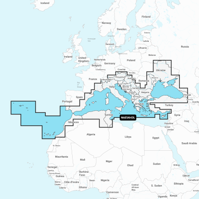
Detailed coverage of the Mediterranean and Black Seas. Coverage includes the Azores, Madeira, the Canary Islands, Gibraltar, the Balearic Islands, Corsica, Sardinia, Sicily, Malta, Crete, Cyprus, the Dardanelles, the Bosporos, the Sea of Azov, the Dneiper River to the Kyivs'ke Reservoir, the Danube River to Passau, Germany, Lake Balaton, Lake Garda, Lake Como and Lake Maggiore. Ports include Cadiz and Barcelona, Spain; Monaco; Marseille and Toulon, France; Genoa, Naples, Taranto and Venice, Italy; Istanbul, Turkey; Odessa, Ukraine; Tunis, Tunisia and Algiers, Algeria.



 Cookies