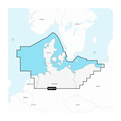
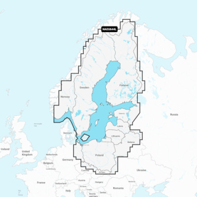
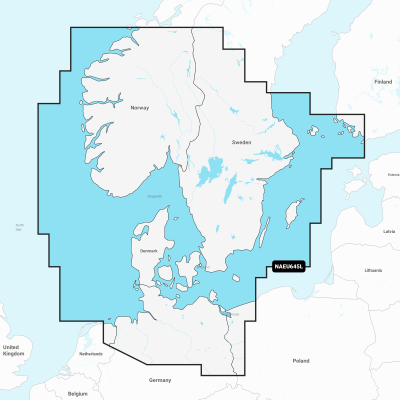
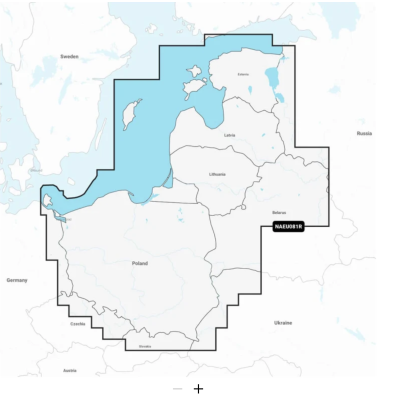
Close arrow_back
- menu title
-
Custom Menu
add remove
-
Navigation
add remove
-
menu title
add remove
-
menu title
add remove
-
menu title
add remove
-
menu title
add remove
-
menu title
add remove
- menu title
-
Custom Menu
add remove
- Navigation add remove
-
menu title
add remove
-
menu title
add remove
-
menu title
add remove
-
menu title
add remove
-
menu title
add remove
Mapa Navionics+ Grenlandia
Szczegółowa mapa wybrzeża Grenlandii od Thule (Qaanaaq) na zachodnim wybrzeżu wokół południowego cypla Grenlandii do Ziemi Germańskiej na wschodnim wybrzeżu. Również szczegóły Ikerasak, Holsteinsborg (Sisimiut), Godhavn (Qeqertarsuaq), Godthab (Nuuk), Julianehåb (Qaqortoq), Jameson Land, Ammassalik i Nanortalik.
Podobne z kategorii
Availability: 7 In Stock
Detailed coverage of central and western Europe. Coverage includes the European coast from the Szczecin Lagoon to Monaco; the Azores; Madeira; the Canary Islands; the Balearics; Corsica and Sardinia; Gibraltar, the English Channel; the Channel Islands; the IJsselmeer; the rivers of France, Germany and the Low Countries; Lakes Maggiore, Como, Garda, Geneva, Constance and Balaton.
Availability: 6 In Stock
Detailed coverage of the entire U.S. coasts, lakes, rivers and inland waterways, plus Alaska and Hawaii. Canada coverage of coastal British Columbia, the Great Lakes, the St. Lawrence Seaway, New Brunswick and Nova Scotia. Coverage includes Bermuda, the Bahamas, Baja California, the Gulf of California, Johnston Atoll and Palmyra Atoll/Kingman Reef.