Close arrow_back
- menu title
-
Custom Menu
add remove
-
Navigation
add remove
-
menu title
add remove
-
menu title
add remove
-
menu title
add remove
-
menu title
add remove
-
menu title
add remove
- menu title
-
Custom Menu
add remove
- Navigation add remove
-
menu title
add remove
-
menu title
add remove
-
menu title
add remove
-
menu title
add remove
-
menu title
add remove
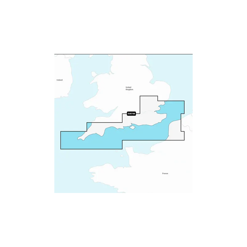
Mapa Navionics+ Anglia, Południowe Wybrzeże
Szczegółowa mapa południowego wybrzeża Wielkiej Brytanii od Felixstowe do Wysp Scilly oraz wybrzeża Francji od Dunkierki do Le Treport. Mapa obejmuje rzekę Tamizę do Windsoru, wyspę Wight i porty w Londynie, Dover, Portsmouth, Southampton i Plymouth w Wielkiej Brytanii oraz Calais we Francji.
Podobne z kategorii
Availability: 9 In Stock
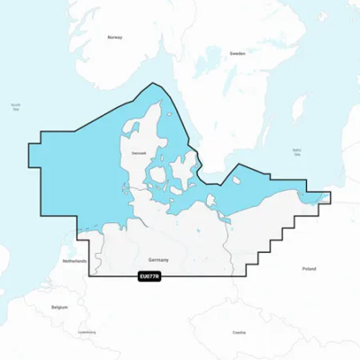
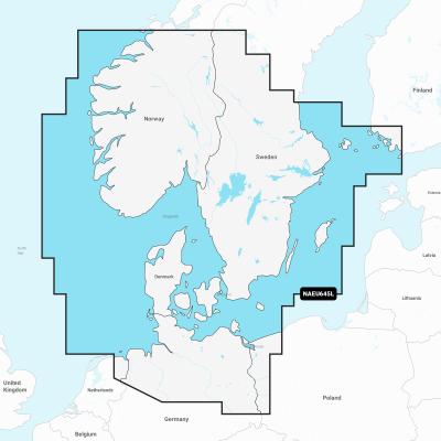
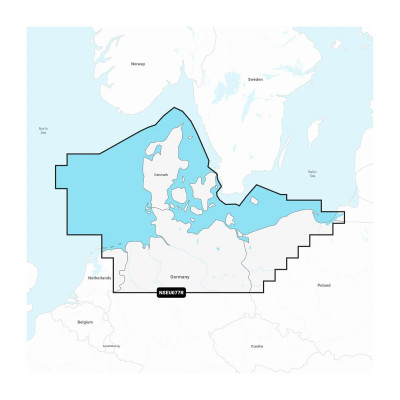
Detailed coverage of the coasts of Norway and Sweden from Flekkefjord, Norway to Ystad, Sweden and the entire coast of Denmark. Coverage includes the Limfjord, the Kattegat, the Orosund, Læsø, Bornholm and Lakes Fryken, Siljan, Vänern, Vättern, Mjörn, Sommen, Nommen, and Bolmen in Sweden. Ports include Oslo and Kristiansand, Norway; Copenhagen and Aarhus, Denmark and Gothenburg and Malmö, Sweden.



 Cookies