Close arrow_back
- menu title
-
Custom Menu
add remove
-
Navigation
add remove
-
menu title
add remove
-
menu title
add remove
-
menu title
add remove
-
menu title
add remove
-
menu title
add remove
- menu title
-
Custom Menu
add remove
- Navigation add remove
-
menu title
add remove
-
menu title
add remove
-
menu title
add remove
-
menu title
add remove
-
menu title
add remove
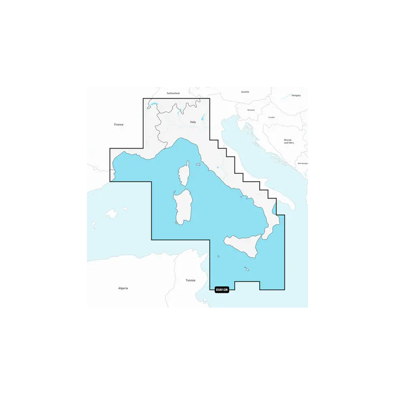
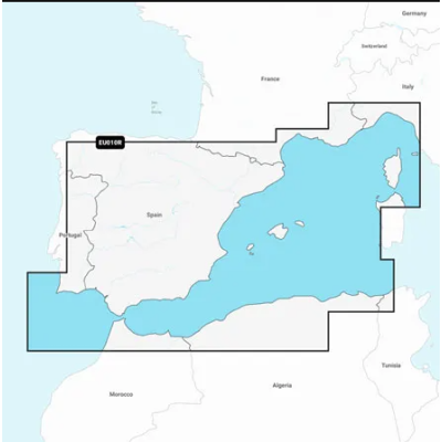
Mapa Navionics+Morze Śródziemne, część środkowa i zachodnia
Mapa wybrzeża Morza Śródziemnego od L'Esartit, Hiszpania do Crotone, Włochy, w tym Korsyka, Sardynia, Sycylia i Malta. Zawiera również relacje z Lac de Geneve, Lago Maggiore, Lago di Lugano, Lago d'Iseo, Lago di Como i Lago di Garda w północnych Włoszech.
Podobne z kategorii
Availability: Out of stock
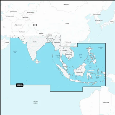
Coastal coverage of the South Asian coast and the Indian Ocean from Gwadar, PK to Da Nang, VN and the South China Sea. Includes India, Ceylon, Bangladesh, Myanmar, Thailand, Malaysia, Singapore, Cambodia, Indonesia, Brunei, the Philippines, the Andaman and Nicobar Islands, the Cocos Islands, Christmas Island, and the Maldives. Lakes Pangong and Spanggur are also covered.
Availability: Out of stock
Coastal coverage of Mexico, Central America and Brazil. Coverage includes the US Gulf Coast and the eastern US coast to Savannah, GA; Bermuda; the Bahamas; Cuba; Hispaniola; Puerto Rico and the Virgin Islands; the Windward and Leeward Islands; Jamaica; the Panama Canal, the western coast of South America to Arica, Chile; the Galapagos Islands; the Revillagigedo Islands; the Ilha Fernando de Noronha; the Saint Peter and Saint Paul Archipelago and the Rocas Atoll.
Availability: Out of stock
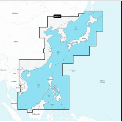
Mapa wybrzeża wschodniej Azji — od Władywostoku w Rosji do delty rzeki Mekong. Mapa obejmuje Wyspy Japońskie, Półwysep Koreański, Tajwan, Brunei i Filipiny oraz porty w Szanghaju, Dalian, Hongkongu i Pusan.




 Cookies