Close arrow_back
- menu title
-
Custom Menu
add remove
-
Navigation
add remove
-
menu title
add remove
-
menu title
add remove
-
menu title
add remove
-
menu title
add remove
-
menu title
add remove
- menu title
-
Custom Menu
add remove
- Navigation add remove
-
menu title
add remove
-
menu title
add remove
-
menu title
add remove
-
menu title
add remove
-
menu title
add remove
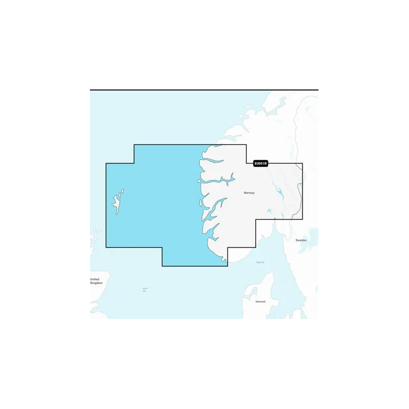
Mapa Navionics+ Norwegia, Lista–Sognefjord
Szczegółowa mapa wybrzeża Norwegii od Farsund do Maloy, z uwzględnieniem Wysp Szetlandzkich i Sognefjordu. Obejmuje szczegółową mapę Bergen, Haugesund i Stavanger.
Podobne z kategorii
Availability: Out of stock
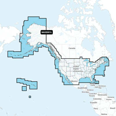
Detailed coverage of the entire U.S. coasts, lakes, rivers and inland waterways, plus Alaska and Hawaii. Canada coverage of coastal British Columbia, the Great Lakes, the St. Lawrence Seaway, New Brunswick and Nova Scotia. Coverage includes Bermuda, the Bahamas, Baja California, the Gulf of California, Johnston Atoll and Palmyra Atoll/Kingman Reef.
Availability: Out of stock
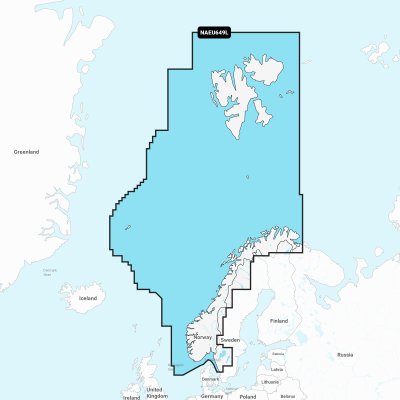
Detailed coverage of the entire coast of Norway and parts of Sweden. Coverage includes the Oslofjord; the Sognefjord; the Vestfjorden; Jan Mayen Island; Svalbard; Lakes Mjøsa, Bandak, Kviteseidvatnet, Flåvatn and Norsjø and the Telemark Canal in Norway; Lakes Vänern and Vättern and the Trollhätte and Göta Canals in Sweden. Ports include Gothenburg in Sweden and Kristiansand, Stavanger, Bergen, Trondheim, Tromsø and Narvik in Norway.
Availability: Out of stock
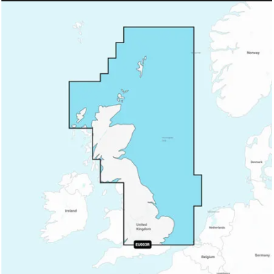
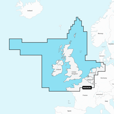
Detailed coverage of the UK, Ireland and the North Sea and English Channel coasts. Coverage includes the Shetland Islands, Orkney Islands, Isle of Man, Isle of Wight, the Isles of Scilly, the Channel Islands, the Thames River, the IJsselmeer, the Waddenzee and the Kiel Canal. Ports include London, Liverpool, Southampton, Edinburgh and Belfast, UK; Dublin and Cork, Ireland; Brest, Le Havre, Calais and Dunkirk, France; Antwerp, Belgium; Amsterdam and Rotterdam, The Netherlands; Bremerhaven, Hamburg and Kiel, Germany.



 Cookies