Zamknij arrow_back
- Nowości
-
Mapy i publikacje
add remove Mapy papierowe add removePublikacje papierowe add remove
-
Nawigacja
add remove Zegary add removeBarometry add removeTermometry , Higrometry, Barografy add removeAreometry (Densymetry) add remove
-
Sygnalizacja
add remove Lampy Nawigacyjne, Szperacze add removeŻarówki add removeLatarki add removeZnaki dzienne add remove
-
Środki ratunkowe
add remove Kamizelki add removeTratwy add removeKombinezony ratunkowe add removePirotechnika morska add removeKoła, Pławki, Tyczki add removeUprzęże, Linki, Taśmy Bezpieczeństwa add removeReflektory radarowe add removeBosaki, Wiosła add remove
-
Elektronika morska
add remove Radiotelefony add removeOdbiorniki Pogody add removePLB / AIS MOB, OLAS add removeRadiopławy, Transpondery add removeWiatromierze add removeAkcesoria add remove
-
Sprzęt pożarowy
add remove Akcesoria add remove
-
Wyposażenie pokładowe
add remove Drabinki Pilotowe, Ewakuacyjne add remove
- Nowości
-
Mapy i publikacje
add remove Mapy papierowe add removePublikacje papierowe add remove
- Nawigacja add remove
- Sygnalizacja add remove
- Środki ratunkowe add remove
- Elektronika morska add remove
- Sprzęt pożarowy add remove
-
Wyposażenie pokładowe
add remove
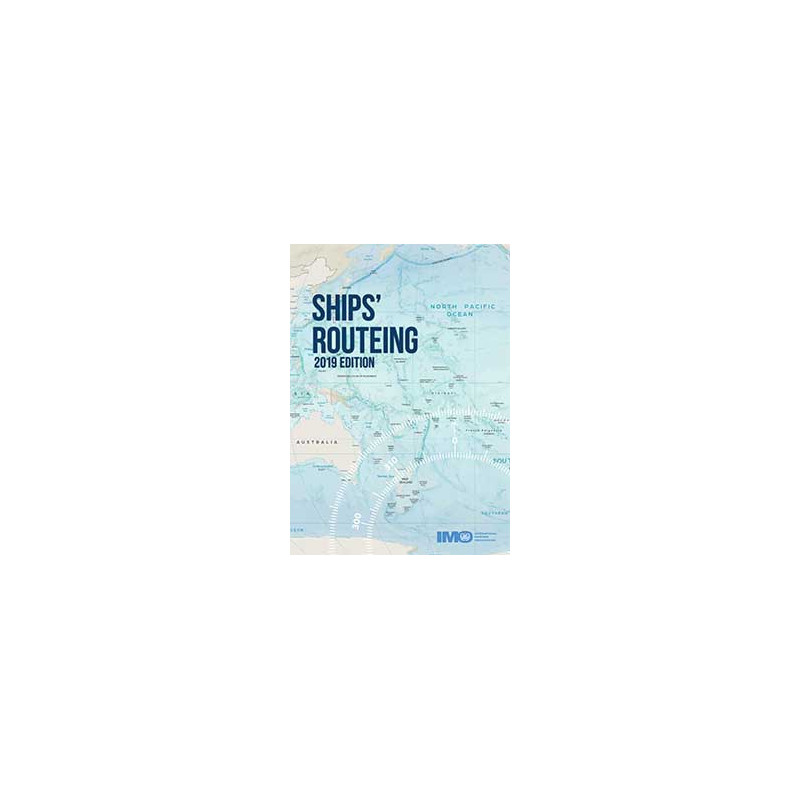
Ships' Routeing, 2019 Edycja
Both the safety of shipping and the cleanliness of oceans are promoted in many ways, one of which is
the continuing development of routeing measures to control the navigation of vessels and to monitor
their progress.
The measures that are described or defined in parts A and H of this publication are individually
described in parts B (traffic separation schemes and inshore traffic zones), C (deepwater routes),
D (areas to be avoided), E (other routeing measures, such as recommended tracks, two-way routes
and recommended directions of traffic flow), F (the rules and recommendations on navigation that are
associated with particular traffic areas and straits), G (mandatory ship reporting systems, mandatory
routeing systems and mandatory no anchoring areas) and H (archipelagic sea lanes).
This edition incorporates routeing measures that have been adopted before July 2019.
Podobne z kategorii
Availability: Out of stock
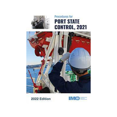
Port State control inspections contribute to ensuring that global
maritime standards are being implemented consistently on all ships. This
publication provides guidance for port State control officers on the
conduct of inspections to support harmonization in the way inspections
are carried out worldwide.
This edition includes amendments to the *Guidelines for investigations
and inspections carried out under MARPOL Annex II* (appendix 4), the
*Guidelines for control of operational requirements* (appendix 7) and
the *Guidelines for port State control under MARPOL Annex VI* (appendix
18).




 Cookies