- Nowości
 - 


										Mapy i publikacje
									
														
					add remove 					Mapy papierowe add removePublikacje papierowe add remove
 - 


										Nawigacja
									
														
					add remove 					Zegary add removeBarometry add removeTermometry , Higrometry, Barografy add removeAreometry (Densymetry) add remove
 - 


										Sygnalizacja
									
														
					add remove 					Lampy Nawigacyjne, Szperacze add removeŻarówki add removeLatarki add removeZnaki dzienne add remove
 - 


										Środki ratunkowe
									
														
					add remove 					Kamizelki add removeTratwy add removeKombinezony ratunkowe add removePirotechnika morska add removeKoła, Pławki, Tyczki add removeUprzęże, Linki, Taśmy Bezpieczeństwa add removeReflektory radarowe add removeBosaki, Wiosła add remove
 - 


										Elektronika morska
									
														
					add remove 					Radiotelefony add removeOdbiorniki Pogody add removePLB / AIS MOB, OLAS add removeRadiopławy, Transpondery add removeWiatromierze add removeAkcesoria add remove
 - 


										Sprzęt pożarowy
									
														
					add remove 					Akcesoria add remove
 - 


										Wyposażenie pokładowe
									
														
					add remove 					Drabinki Pilotowe, Ewakuacyjne add remove
 
- Nowości
 - 
					
						
												Mapy i publikacje


						add remove 						Mapy papierowe add removePublikacje papierowe add remove
 - Nawigacja add remove
 - Sygnalizacja add remove
 - Środki ratunkowe add remove
 - Elektronika morska add remove
 - Sprzęt pożarowy add remove
 - 
					
						
												Wyposażenie pokładowe


						add remove 						
 
NV. NO 4 Norge Sørlandet Vest - Flekkefjord til Kristiansand - atlas map
Description
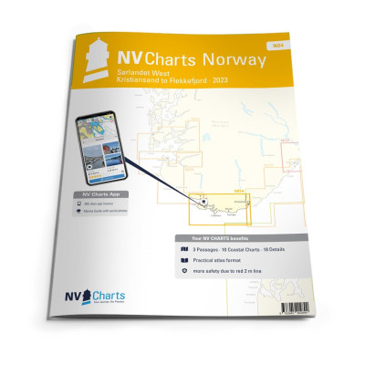
If you want to go directly from North Jutland to the southwest coast of Norway, you should have the NO4 already on board. The southwest coast is the climatically mildest region of Norway and offers with Kristiansand, Ryvingen (southernmost lighthouse of Norway), Lindesnes and the beautiful Flekkefjord a landscape shaped by nature. However, at Lindesnes the Skagerrak meets the North Sea, which you should definitely take into account in your planning.
NV charts for the Norwegian coast are based on data from the Norwegian Hydrographic Office and also contain the harbour plans of the “Norske Los” as well as numerous, specially charted details. Thanks to the clear structure, the skipper can quickly find approaches, harbours and anchorages and is informed of important navigational details that also appear in the NV Charts app. The chart series impresses with its optimal scales and balanced sheet cuts.
The NV.Atlas comes as usual as a combipack and includes
3 Passage Charts10 Coastal Charts
18 detailed charts
Digital charts & Navigation programme
Paper harbour plans & Digital
Navigation instructions in English and Norwegian


                                                        Cookies