Zamknij arrow_back
- Nowości
-
Mapy i publikacje
add remove Mapy papierowe add removePublikacje papierowe add remove
-
Nawigacja
add remove Zegary add removeBarometry add removeTermometry , Higrometry, Barografy add removeAreometry (Densymetry) add remove
-
Sygnalizacja
add remove Lampy Nawigacyjne, Szperacze add removeŻarówki add removeLatarki add removeZnaki dzienne add remove
-
Środki ratunkowe
add remove Kamizelki add removeTratwy add removeKombinezony ratunkowe add removePirotechnika morska add removeKoła, Pławki, Tyczki add removeUprzęże, Linki, Taśmy Bezpieczeństwa add removeReflektory radarowe add removeBosaki, Wiosła add remove
-
Elektronika morska
add remove Radiotelefony add removeOdbiorniki Pogody add removePLB / AIS MOB, OLAS add removeRadiopławy, Transpondery add removeWiatromierze add removeAkcesoria add remove
-
Sprzęt pożarowy
add remove Akcesoria add remove
-
Wyposażenie pokładowe
add remove Drabinki Pilotowe, Ewakuacyjne add remove
- Nowości
-
Mapy i publikacje
add remove Mapy papierowe add removePublikacje papierowe add remove
- Nawigacja add remove
- Sygnalizacja add remove
- Środki ratunkowe add remove
- Elektronika morska add remove
- Sprzęt pożarowy add remove
-
Wyposażenie pokładowe
add remove
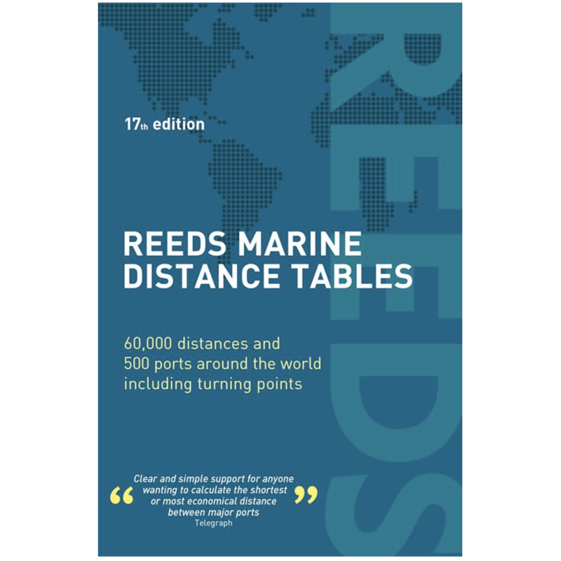
Reeds Marine Distance Tables 17th Edition
Edycja: 2022
Reeds Marine Distance Tables are the perfect ready-reckoner for captains, navigators and owners of merchant and cruise ships large and small wanting a quick and accurate distance reference between all the regularly used commercial ports around the world. They are also of increasing value to the superyacht fleet.
The book is divided into key 'market areas', and includes a pull-out map for area identification and easy see-at-a-glance port reference. Traffic Separation Schemes are calculated into the tables whilst the distance to any port not included can easily be determined by making an approximation from the next closest port. Useful tables of major 'turning points' around the world (such as Cape Finisterre, Cape Horn and the Dover Straits), Transatlantic distances, world time zones, and time and speed conversion tables are also included.
As well as incorporating general updates and improvements, this edition has been expanded to include distances for the Faroes, Shetlands and Orkneys. Freighter movements, cargo tonnage and cruise ship destinations have all been factored into considering details on the top ten busiest ports worldwide.
Reeds Marine Distance Tables are an invaluable reference for ship owners, operators, brokers, navigators and superyacht skippers. Using this one reference, anyone can calculate the shortest or most economical distances between all the major ports in the world.
'A first class reference' Nautical Magazine
'Clear and simple support for anyone wanting to calculate the shortest or most economical distance between major ports' Telegraph
Podobne z kategorii
Availability: 1 In Stock
This book is a 2004 Edition that was Reprinted in 2018 with Amendments.
Availability: 2 In Stock
Deep-water Voyaging, Navigation and Yacht Management
Published: 10-03-2016, Edition: 1st








 Cookies