Zamknij arrow_back
- Nowości
-
Mapy i publikacje
add remove Mapy papierowe add removePublikacje papierowe add remove
-
Nawigacja
add remove Zegary add removeBarometry add removeTermometry , Higrometry, Barografy add removeAreometry (Densymetry) add remove
-
Sygnalizacja
add remove Lampy Nawigacyjne, Szperacze add removeŻarówki add removeLatarki add removeZnaki dzienne add remove
-
Środki ratunkowe
add remove Kamizelki add removeTratwy add removeKombinezony ratunkowe add removePirotechnika morska add removeKoła, Pławki, Tyczki add removeUprzęże, Linki, Taśmy Bezpieczeństwa add removeReflektory radarowe add removeBosaki, Wiosła add remove
-
Elektronika morska
add remove Radiotelefony add removeOdbiorniki Pogody add removePLB / AIS MOB, OLAS add removeRadiopławy, Transpondery add removeWiatromierze add removeAkcesoria add remove
-
Sprzęt pożarowy
add remove Akcesoria add remove
-
Wyposażenie pokładowe
add remove Drabinki Pilotowe, Ewakuacyjne add remove
- Nowości
-
Mapy i publikacje
add remove Mapy papierowe add removePublikacje papierowe add remove
- Nawigacja add remove
- Sygnalizacja add remove
- Środki ratunkowe add remove
- Elektronika morska add remove
- Sprzęt pożarowy add remove
-
Wyposażenie pokładowe
add remove
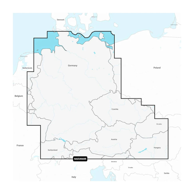
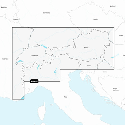
Navionics+ Niemcy, jeziora i rzeki
Detailed coverage of the German North Sea and Baltic coast, the German inland waterway system and numerous lakes. Coverage includes the entirety of the Rhine River, the Main River to Bamberg, the Danube River to Budapest, the Saar River, the Moselle River to Metz, France; the Ems River, the Weser River, the Elbe River to Chvaletice, Czech Republic, the Vltava River to Trebenice, Czech Republic, the Havel River, the entirety of the Rhine-Main-Danube Canal, the Oder-Havel Canal, the Elbe-Havel Canal, the Elbe-Seiten Canal, the Müritz, the Kiel/Lübeck/Flensburg Canal, the Mittelland Canal, Lake Constance, Lake Zurich, Lake Balaton and numerous other lakes including the Chiemsee, Attersee and Neusiedler See.
Podobne z kategorii
Availability: Out of stock
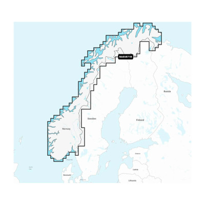
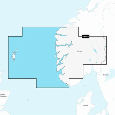
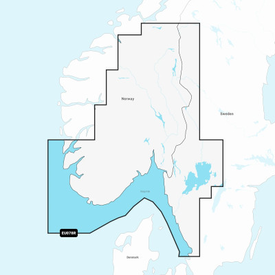
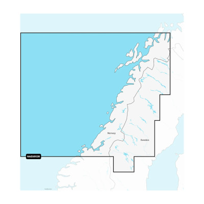
Detailed coverage of the entire coast of Norway and parts of Sweden. Coverage includes the Oslofjord; the Sognefjord; the Vestfjorden; Jan Mayen Island; Svalbard; Lakes Mjøsa, Bandak, Kviteseidvatnet, Flåvatn and Norsjø and the Telemark Canal in Norway; Lakes Vänern and Vättern and the Trollhätte and Göta Canals in Sweden. Ports include Gothenburg in Sweden and Kristiansand, Stavanger, Bergen, Trondheim, Tromsø and Narvik in Norway.
Availability: Out of stock
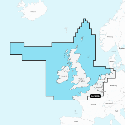
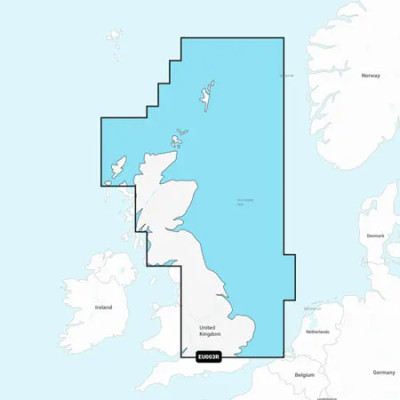
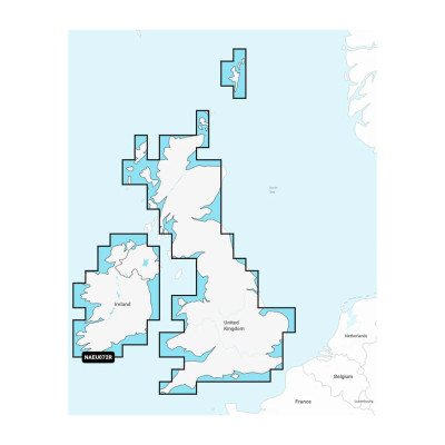
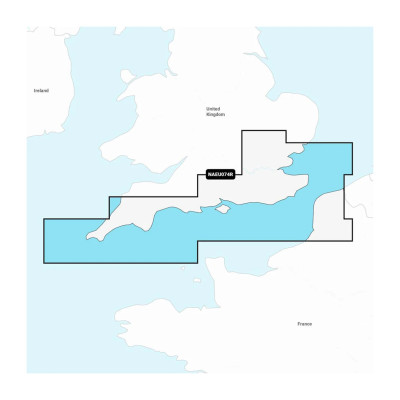
Detailed coverage of the UK, Ireland and the North Sea and English Channel coasts. Coverage includes the Shetland Islands, Orkney Islands, Isle of Man, Isle of Wight, the Isles of Scilly, the Channel Islands, the Thames River, the IJsselmeer, the Waddenzee and the Kiel Canal. Ports include London, Liverpool, Southampton, Edinburgh and Belfast, UK; Dublin and Cork, Ireland; Brest, Le Havre, Calais and Dunkirk, France; Antwerp, Belgium; Amsterdam and Rotterdam, The Netherlands; Bremerhaven, Hamburg and Kiel, Germany.
Availability: 7 In Stock
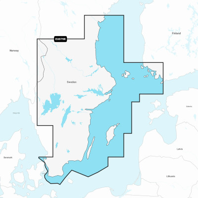
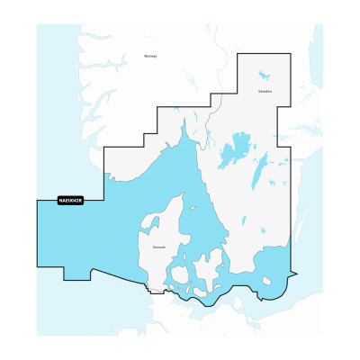
Detailed coverage of the coasts of Norway and Sweden from Flekkefjord, Norway to Ystad, Sweden and the entire coast of Denmark. Coverage includes the Limfjord, the Kattegat, the Orosund, Læsø, Bornholm and Lakes Fryken, Siljan, Vänern, Vättern, Mjörn, Sommen, Nommen, and Bolmen in Sweden. Ports include Oslo and Kristiansand, Norway; Copenhagen and Aarhus, Denmark and Gothenburg and Malmö, Sweden.



 Cookies