Zamknij arrow_back
- Nowości
-
Mapy i publikacje
add remove Mapy papierowe add removePublikacje papierowe add remove
-
Nawigacja
add remove Zegary add removeBarometry add removeTermometry , Higrometry, Barografy add removeAreometry (Densymetry) add remove
-
Sygnalizacja
add remove Lampy Nawigacyjne, Szperacze add removeŻarówki add removeLatarki add removeZnaki dzienne add remove
-
Środki ratunkowe
add remove Kamizelki add removeTratwy add removeKombinezony ratunkowe add removePirotechnika morska add removeKoła, Pławki, Tyczki add removeUprzęże, Linki, Taśmy Bezpieczeństwa add removeReflektory radarowe add removeBosaki, Wiosła add remove
-
Elektronika morska
add remove Radiotelefony add removeOdbiorniki Pogody add removePLB / AIS MOB, OLAS add removeRadiopławy, Transpondery add removeWiatromierze add removeAkcesoria add remove
-
Sprzęt pożarowy
add remove Akcesoria add remove
-
Wyposażenie pokładowe
add remove Drabinki Pilotowe, Ewakuacyjne add remove
- Nowości
-
Mapy i publikacje
add remove Mapy papierowe add removePublikacje papierowe add remove
- Nawigacja add remove
- Sygnalizacja add remove
- Środki ratunkowe add remove
- Elektronika morska add remove
- Sprzęt pożarowy add remove
-
Wyposażenie pokładowe
add remove
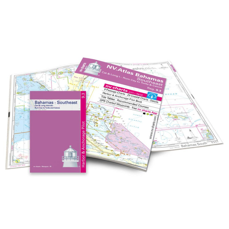
NV Atlas Reg. 9.3 - Bahamas South East - Cat & Long Island - Rum Cay to Turks & Caicos - pakiet map
Edycja: 2022/2023
Description
Cat & Long Island, Rum Cay to Turks & Caicos. 9 cruisers, 23 coastal charts, incl. "Harbour & Anchorage Pilot Book" and tide tables 2016-18. 30x42cm format, paperback. In English language. The set includes a download code for all maps of the area in nv.digital format for use with the navigation programme "Chart Navigator light" as well as with smartphone/tablet (Apple: iOS/MacOSX, Android, Windows 7/8). Now in atlas format
Cat & Long Island, Rum Cay to Turks & Caicos. 9 cruisers, 23 coastal charts, incl. "Harbour & Anchorage Pilot Book" and tide tables 2016-18. 30x42cm format, paperback. In English language. The set includes a download code for all maps of the area in nv.digital format for use with the navigation programme "Chart Navigator light" as well as with smartphone/tablet (Apple: iOS/MacOSX, Android, Windows 7/8). Now in atlas format
Podobne z kategorii
Availability: Out of stock
Edycja: 2022
Availability: Out of stock
This e-reader is accessed using The IMO Bookshelf.
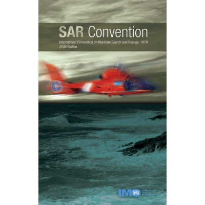
Providing a framework for carrying out search and rescue operations following accidents at sea, this revision includes amendments to the International Convention on Maritime Search and Rescue, 1979 which were adopted by resolution MSC.155(78) in May 2004. These amendments come into force on 1 July 2006.














 Cookies