Zamknij arrow_back
- Nowości
-
Mapy i publikacje
add remove Mapy papierowe add removePublikacje papierowe add remove
-
Nawigacja
add remove Zegary add removeBarometry add removeTermometry , Higrometry, Barografy add removeAreometry (Densymetry) add remove
-
Sygnalizacja
add remove Lampy Nawigacyjne, Szperacze add removeŻarówki add removeLatarki add removeZnaki dzienne add remove
-
Środki ratunkowe
add remove Kamizelki add removeTratwy add removeKombinezony ratunkowe add removePirotechnika morska add removeKoła, Pławki, Tyczki add removeUprzęże, Linki, Taśmy Bezpieczeństwa add removeReflektory radarowe add removeBosaki, Wiosła add remove
-
Elektronika morska
add remove Radiotelefony add removeOdbiorniki Pogody add removePLB / AIS MOB, OLAS add removeRadiopławy, Transpondery add removeWiatromierze add removeAkcesoria add remove
-
Sprzęt pożarowy
add remove Akcesoria add remove
-
Wyposażenie pokładowe
add remove Drabinki Pilotowe, Ewakuacyjne add remove
- Nowości
-
Mapy i publikacje
add remove Mapy papierowe add removePublikacje papierowe add remove
- Nawigacja add remove
- Sygnalizacja add remove
- Środki ratunkowe add remove
- Elektronika morska add remove
- Sprzęt pożarowy add remove
-
Wyposażenie pokładowe
add remove
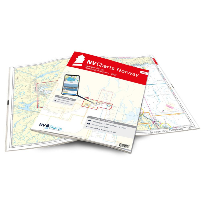
NV. NO 2 Norge Oslofjord Sør - Svenska Grensen til Kragerøg - atlas map
Edycja: 2023
Description
With our nautical chart NO2 you will be guided from the Swedish border directly into the busy Oslofjord to the historic Fredrikstad. From there you can go directly to the other side to Tönsberg and reach the popular Kragerö on the beautiful coast. Of course, there is also the option of using the detailed charts to advance into the Telemark Canal or to approach one of the countless islands.
NV charts for the Norwegian coast are based on data from the Norwegian Hydrographic Office and also contain the harbour plans of the “Norske Los” as well as numerous, specially charted details. Thanks to the clear structure, the skipper can quickly find approaches, harbours and anchorages and is informed of important navigational details that also appear in the NV Charts app. The chart series impresses with its optimal scales and balanced sheet cuts.
NV charts for the Norwegian coast are based on data from the Norwegian Hydrographic Office and also contain the harbour plans of the “Norske Los” as well as numerous, specially charted details. Thanks to the clear structure, the skipper can quickly find approaches, harbours and anchorages and is informed of important navigational details that also appear in the NV Charts app. The chart series impresses with its optimal scales and balanced sheet cuts.
The chart set includes:
6 Passage Charts
11 Coastal Charts
12 detailed charts
Digital charts & Navigation programme
Paper harbour plans & Digital
Navigation notes in English and Norwegian
Podobne z kategorii
Availability: 1 In Stock
Edycja: 2023
Availability: 3 In Stock
Edycja: 2021









 Cookies