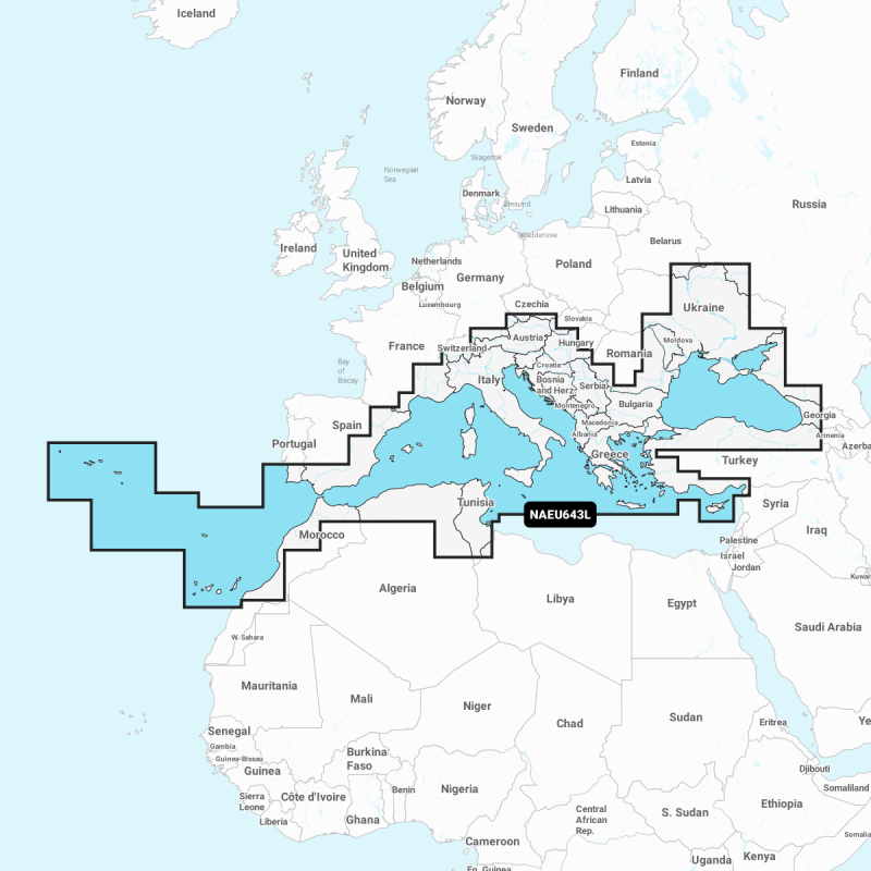
Szczegółowa mapa Morza Śródziemnego i Morza Czarnego. Mapa obejmuje Azory, Maderę, Wyspy Kanaryjskie, Gibraltar, Baleary, Korsykę, Sardynię, Sycylię, Maltę, Kretę, Cypr, Dardanele, Bosforos, Morze Azowskie, rzekę Dniepr do Zbiornika Kijowskiego, rzekę Dunaj do Passau w Niemczech, jezioro Balaton, jezioro Garda, jezioro Como i jezioro Maggiore. Porty obejmują Kadyks i Barcelonę w Hiszpanii; Monako; Marsylię i Tulon we Francji; Genuę, Neapol, Taranto i Wenecję we Włoszech; Stambuł w Turcji; Odessę w Ukrainie; Tunis w Tunezji i Algier w Algierii.
Zamknij arrow_back
- Nowości
-
Mapy i publikacje
add remove Mapy papierowe add removePublikacje papierowe add remove
-
Nawigacja
add remove Zegary add removeBarometry add removeTermometry , Higrometry, Barografy add removeAreometry (Densymetry) add remove
-
Sygnalizacja
add remove Lampy Nawigacyjne, Szperacze add removeŻarówki add removeLatarki add removeZnaki dzienne add remove
-
Środki ratunkowe
add remove Kamizelki add removeTratwy add removeKombinezony ratunkowe add removePirotechnika morska add removeKoła, Pławki, Tyczki add removeUprzęże, Linki, Taśmy Bezpieczeństwa add removeReflektory radarowe add removeBosaki, Wiosła add remove
-
Elektronika morska
add remove Radiotelefony add removeOdbiorniki Pogody add removePLB / AIS MOB, OLAS add removeRadiopławy, Transpondery add removeWiatromierze add removeAkcesoria add remove
-
Sprzęt pożarowy
add remove Akcesoria add remove
-
Wyposażenie pokładowe
add remove Drabinki Pilotowe, Ewakuacyjne add remove
- Nowości
-
Mapy i publikacje
add remove Mapy papierowe add removePublikacje papierowe add remove
- Nawigacja add remove
- Sygnalizacja add remove
- Środki ratunkowe add remove
- Elektronika morska add remove
- Sprzęt pożarowy add remove
-
Wyposażenie pokładowe
add remove
Navionics+ Mediterranean & Black Sea - mapa elektroniczna
Detailed coverage of the Mediterranean and Black Seas. Coverage includes the Azores, Madeira, the Canary Islands, Gibraltar, the Balearic Islands, Corsica, Sardinia, Sicily, Malta, Crete, Cyprus, the Dardanelles, the Bosporos, the Sea of Azov, the Dneiper River to the Kyivs'ke Reservoir, the Danube River to Passau, Germany, Lake Balaton, Lake Garda, Lake Como and Lake Maggiore. Ports include Cadiz and Barcelona, Spain; Monaco; Marseille and Toulon, France; Genoa, Naples, Taranto and Venice, Italy; Istanbul, Turkey; Odessa, Ukraine; Tunis, Tunisia and Algiers, Algeria.
Podobne z kategorii
Availability: Out of stock
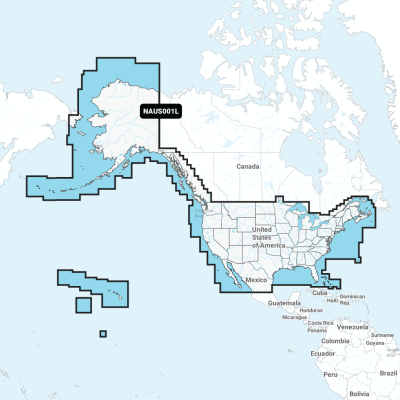
Detailed coverage of the entire U.S. coasts, lakes, rivers and inland waterways, plus Alaska and Hawaii. Canada coverage of coastal British Columbia, the Great Lakes, the St. Lawrence Seaway, New Brunswick and Nova Scotia. Coverage includes Bermuda, the Bahamas, Baja California, the Gulf of California, Johnston Atoll and Palmyra Atoll/Kingman Reef.
Availability: Out of stock
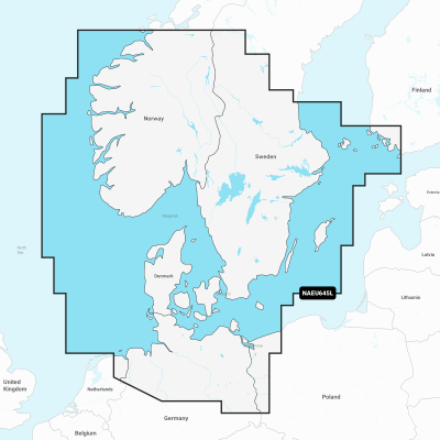
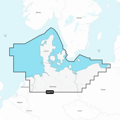
Detailed coverage of the Skagerrak and Kattegat and the approaches to them. Coverage includes the Scandinavian coast from Kristiansund, Norway to Gavle, Sweden; the Aland Islands; Turku, Finland; Gotland and Bornholm Islands; the Szczecin Lagoon; the Kiel Canal and all of Denmark. Ports include Oslo, Norway; Malmo and Stockholm, Sweden; Copenhagen and Aarhus, Denmark and Hamburg, Germany. Lakes include but are not limited to Lakes Vänern, Vättern, Mjörn, Sommen and Uddjuar in Sweden and Lakes Mjøsa, Bandak, Flåvatn, Norsjø and the Telemark Canal in Norway.



 Cookies