Zamknij arrow_back
- Nowości
-
Mapy i publikacje
add remove Mapy papierowe add removePublikacje papierowe add remove
-
Nawigacja
add remove Zegary add removeBarometry add removeTermometry , Higrometry, Barografy add removeAreometry (Densymetry) add remove
-
Sygnalizacja
add remove Lampy Nawigacyjne, Szperacze add removeŻarówki add removeLatarki add removeZnaki dzienne add remove
-
Środki ratunkowe
add remove Kamizelki add removeTratwy add removeKombinezony ratunkowe add removePirotechnika morska add removeKoła, Pławki, Tyczki add removeUprzęże, Linki, Taśmy Bezpieczeństwa add removeReflektory radarowe add removeBosaki, Wiosła add remove
-
Elektronika morska
add remove Radiotelefony add removeOdbiorniki Pogody add removePLB / AIS MOB, OLAS add removeRadiopławy, Transpondery add removeWiatromierze add removeAkcesoria add remove
-
Sprzęt pożarowy
add remove Akcesoria add remove
-
Wyposażenie pokładowe
add remove Drabinki Pilotowe, Ewakuacyjne add remove
- Nowości
-
Mapy i publikacje
add remove Mapy papierowe add removePublikacje papierowe add remove
- Nawigacja add remove
- Sygnalizacja add remove
- Środki ratunkowe add remove
- Elektronika morska add remove
- Sprzęt pożarowy add remove
-
Wyposażenie pokładowe
add remove
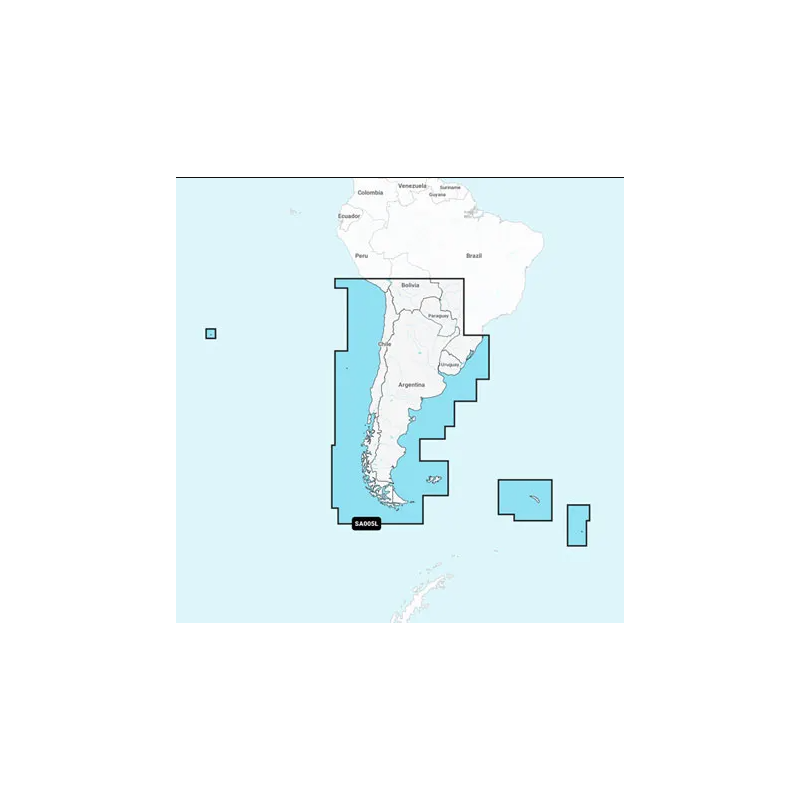
Mapa elektroniczna Navionics+ Chile, Argentyna i Wyspa Wielkanocna
Mapa wybrzeża Ameryki Południowej od Arica, Chile do Rio Grande, Brazylia. Mapa obejmuje Wyspę Wielkanocną, Przylądek Horn, Falklandy/Islas Malvinas, Wyspy Georgia Południowa, Wyspy Sandwich Południowy oraz Rio de la Plata.
Podobne z kategorii
Availability: Out of stock
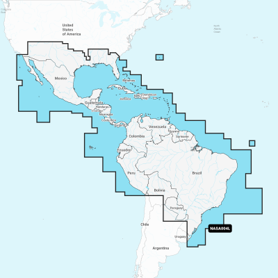
Coastal coverage of Mexico, Central America and Brazil. Coverage includes the US Gulf Coast and the eastern US coast to Savannah, GA; Bermuda; the Bahamas; Cuba; Hispaniola; Puerto Rico and the Virgin Islands; the Windward and Leeward Islands; Jamaica; the Panama Canal, the western coast of South America to Arica, Chile; the Galapagos Islands; the Revillagigedo Islands; the Ilha Fernando de Noronha; the Saint Peter and Saint Paul Archipelago and the Rocas Atoll.
Availability: 9 In Stock
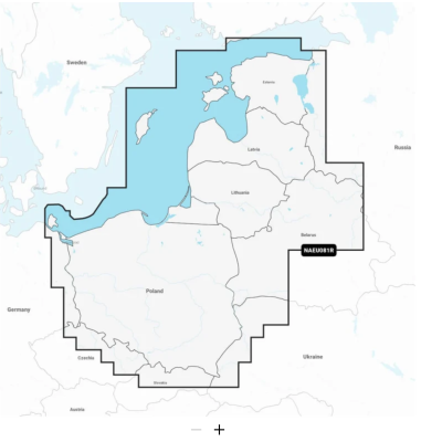
Coastal coverage of the Baltic Sea coasts of Poland, Russia, Lithuania, Latvia and Estonia from the German border to Narva-Jõesuu, EE and the lakes and rivers of Poland, Belarus and the Baltic States. Coverage includes the Gulf of Riga, the Szczecin, Vistula and Kurshskiy Lagoons, the islands of Gotland, Saaremaa and Hiiumaa, the Oder, Vistula, Bug, Neman, Emajõgi and Daugava Rivers, Lakes Peipus, Pihkva and Vörtsjäve, the Masurian District Lakes including Lake Jeziorak, Lake Łańskie and Lake Śniardwy and Lakes Snudy/Strusto, Miastra, Batorino, Lukomshoye and Selyava in Belarus. Ports include Tallinn, Estonia; Riga, Latvia; Gydnia and Gdansk, Poland and Kaliningrad, Russia.



 Cookies