- Nowości
-
Mapy i publikacje
add remove Mapy papierowe add removePublikacje papierowe add remove
-
Nawigacja
add remove Zegary add removeBarometry add removeTermometry , Higrometry, Barografy add removeAreometry (Densymetry) add remove
-
Sygnalizacja
add remove Lampy Nawigacyjne, Szperacze add removeŻarówki add removeLatarki add removeZnaki dzienne add remove
-
Środki ratunkowe
add remove Kamizelki add removeTratwy add removeKombinezony ratunkowe add removePirotechnika morska add removeKoła, Pławki, Tyczki add removeUprzęże, Linki, Taśmy Bezpieczeństwa add removeReflektory radarowe add removeBosaki, Wiosła add remove
-
Elektronika morska
add remove Radiotelefony add removeOdbiorniki Pogody add removePLB / AIS MOB, OLAS add removeRadiopławy, Transpondery add removeWiatromierze add removeAkcesoria add remove
-
Sprzęt pożarowy
add remove Akcesoria add remove
-
Wyposażenie pokładowe
add remove Drabinki Pilotowe, Ewakuacyjne add remove
- Nowości
-
Mapy i publikacje
add remove Mapy papierowe add removePublikacje papierowe add remove
- Nawigacja add remove
- Sygnalizacja add remove
- Środki ratunkowe add remove
- Elektronika morska add remove
- Sprzęt pożarowy add remove
-
Wyposażenie pokładowe
add remove
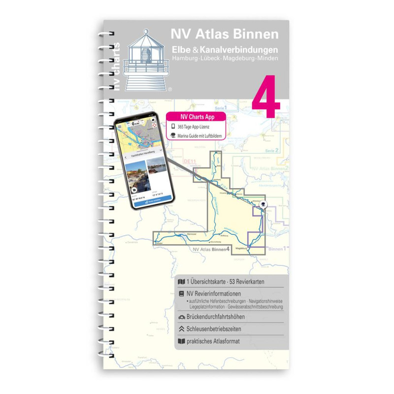
NV. Binnenband 4 Elbe & Kanalverbindungen
Description
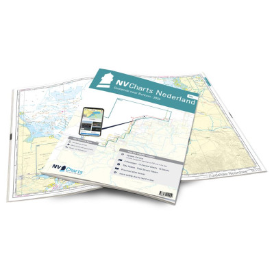
The most exciting waterways can be found in Inland Volume 4 of NV Charts. The Elbe the Elbe-Lübeck Canal the Mittelland Canal and the Elbe-Seiten Canal are all highly frequented waterways with plenty of commercial shipping. This should be taken into account in any case. In addition there are countless motorboats from the Mecklenburg and Brandenburg areas. You can reach the Baltic Sea directly via the Elbe-Seitenkanal or further downstream to the North Sea via our beautiful Hanseatic city of Hamburg. The chart set consists of 53 district and detailed charts.
The NV Sportschiffahrtskarten Binnen are a set of coloured charts at a scale of 1:35 000 specially designed for inland waters. The charts were developed according to the concept of being practical to use and precise in the information they provide. Large-scale details and tightly written texts provide information on water depths passage heights locks moorings and places of interest. An index and an overview map make finding the area quick and easy. An emblem on each page reveals the location in the area. The logical clear layout facilitates orientation as does the kilometre marking in the map margin. Dangerous spots highlighted in red and views of prominent points round off the multi-volume map series.














 Cookies