- Nowości
-
Mapy i publikacje
add remove Mapy papierowe add removePublikacje papierowe add remove
-
Nawigacja
add remove Zegary add removeBarometry add removeTermometry , Higrometry, Barografy add removeAreometry (Densymetry) add remove
-
Sygnalizacja
add remove Lampy Nawigacyjne, Szperacze add removeŻarówki add removeLatarki add removeZnaki dzienne add remove
-
Środki ratunkowe
add remove Kamizelki add removeTratwy add removeKombinezony ratunkowe add removePirotechnika morska add removeKoła, Pławki, Tyczki add removeUprzęże, Linki, Taśmy Bezpieczeństwa add removeReflektory radarowe add removeBosaki, Wiosła add remove
-
Elektronika morska
add remove Radiotelefony add removeOdbiorniki Pogody add removePLB / AIS MOB, OLAS add removeRadiopławy, Transpondery add removeWiatromierze add removeAkcesoria add remove
-
Sprzęt pożarowy
add remove Akcesoria add remove
-
Wyposażenie pokładowe
add remove Drabinki Pilotowe, Ewakuacyjne add remove
- Nowości
-
Mapy i publikacje
add remove Mapy papierowe add removePublikacje papierowe add remove
- Nawigacja add remove
- Sygnalizacja add remove
- Środki ratunkowe add remove
- Elektronika morska add remove
- Sprzęt pożarowy add remove
-
Wyposażenie pokładowe
add remove
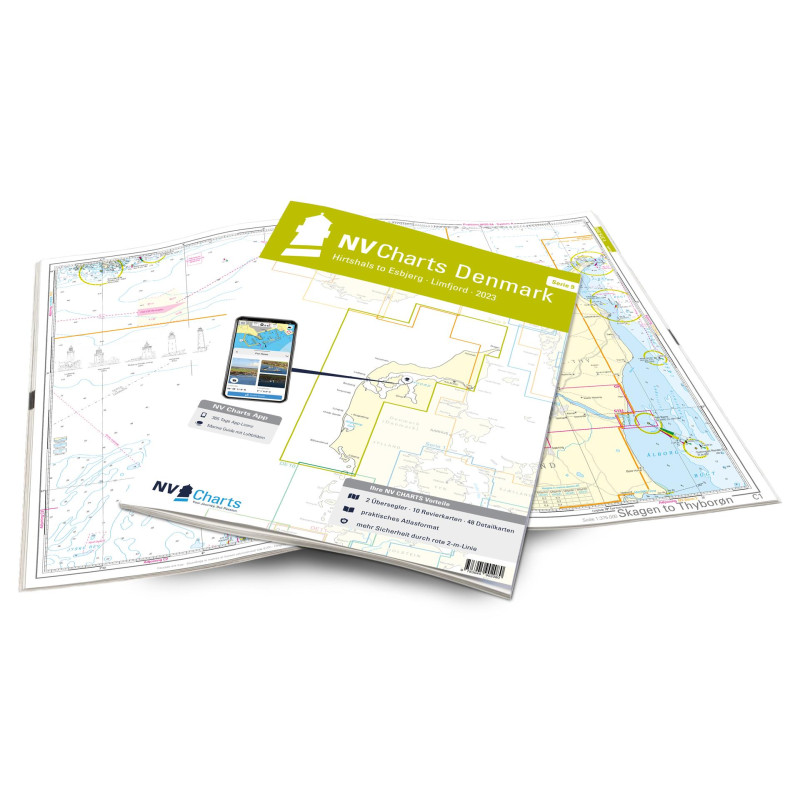
NV Atlas Serie 9 - Hirtshals to Esbjerg & Limfjord - atlas map
Description
The Danish west coast and the Limfjord are among the most popular holiday regions in the Scandinavian country. The coast is known for its endless, fine sandy beaches. The Limfjord is an elongated sound that connects the North Sea with the Kattegat. The shore is lined with white cliffs, beautiful landscapes and small towns such as Aalborg, Lemvig or Skive. Numerous marinas offer berths and solid infrastructure for travelers.
With the charts of the NV Atlas Series 9 you create a safe basis for your journey through the entire area of the Danish west coast and the Limfjord. The Hirtshals to Esbjerg & Limfjord is delivered as a combination pack and contains the nautical charts in various scales as well as all harbour plans and details for approaches and passages in the waters. In addition, clearance heights for bridges, high-voltage lines and all nautical and navigational information are included. Thanks to the clear structure as a bound atlas, the water sports enthusiast can quickly find approaches, harbours and anchorages and is informed of important navigational details that also appear in the NV Charts app. The chart series impresses with its optimal scales and balanced sheet cuts.
This chart set includes
2 oversailers10 precinct charts
48 details
digital charts including
nv charts app and navigation software
Navigation instructions in English


 Cookies