Zamknij arrow_back
- Nowości
-
Mapy i publikacje
add remove Mapy papierowe add removePublikacje papierowe add remove
-
Nawigacja
add remove Zegary add removeBarometry add removeTermometry , Higrometry, Barografy add removeAreometry (Densymetry) add remove
-
Sygnalizacja
add remove Lampy Nawigacyjne, Szperacze add removeŻarówki add removeLatarki add removeZnaki dzienne add remove
-
Środki ratunkowe
add remove Kamizelki add removeTratwy add removeKombinezony ratunkowe add removePirotechnika morska add removeKoła, Pławki, Tyczki add removeUprzęże, Linki, Taśmy Bezpieczeństwa add removeReflektory radarowe add removeBosaki, Wiosła add remove
-
Elektronika morska
add remove Radiotelefony add removeOdbiorniki Pogody add removePLB / AIS MOB, OLAS add removeRadiopławy, Transpondery add removeWiatromierze add removeAkcesoria add remove
-
Sprzęt pożarowy
add remove Akcesoria add remove
-
Wyposażenie pokładowe
add remove Drabinki Pilotowe, Ewakuacyjne add remove
- Nowości
-
Mapy i publikacje
add remove Mapy papierowe add removePublikacje papierowe add remove
- Nawigacja add remove
- Sygnalizacja add remove
- Środki ratunkowe add remove
- Elektronika morska add remove
- Sprzęt pożarowy add remove
-
Wyposażenie pokładowe
add remove
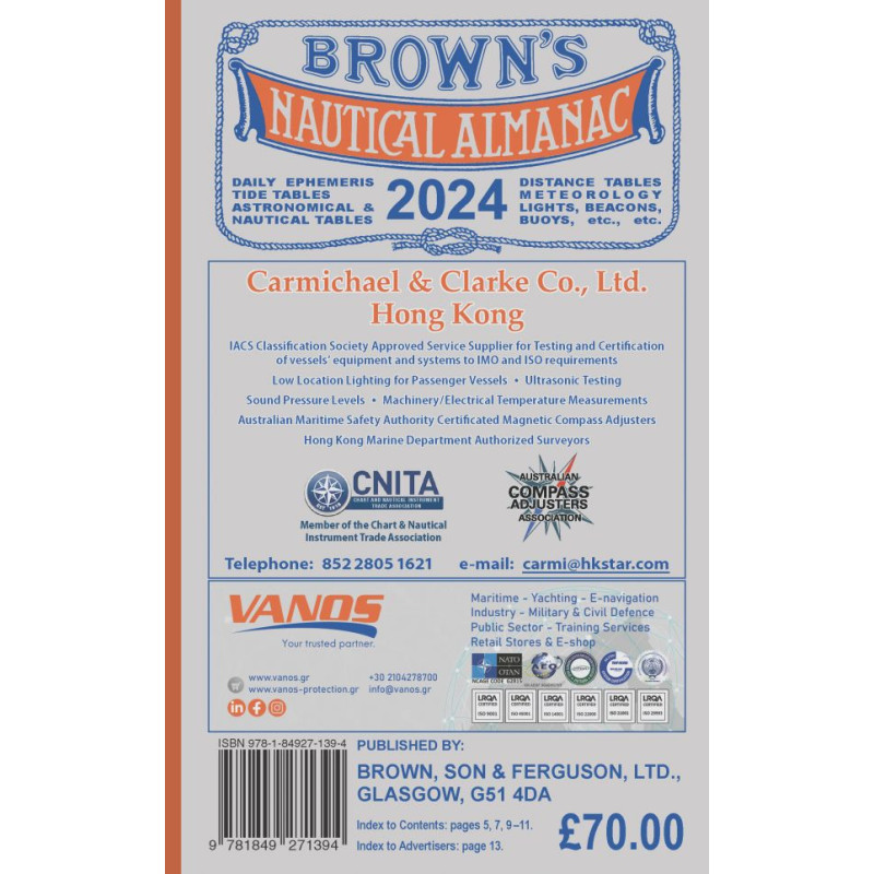
Brown's Nautical Almanac 2024
Published date:First Published 1876; Revised and Updated for 2023
Wydawnictwo w języku angielskim.
Extensive use of colour throughout.
Completely revised each year. Well known in every port throughout the world. Published annually in October for the following year.
True Rhumbline Distance (WGS-84 Calculations (13 pages), Trans-oceanic Passages by Rhumbline Sailing - Method A1NA2, Difference in Nautical Miles between True Rhumbline Distance (WGS-84) and GPS Rhumbline Distance, Distance Correction for Converting Theoretical (Sphere) into Correct Practical Great Circle Distances, Correct (accurate) Mercator Chart (WGS-84) Construction, Trim Calculations. Metacentric Height and List Calculations, with List Draft Changes, etc.
Draft Surveying and Displacement Calculations (5 pages), How to get Trim and Drafts Forward and Aft by Distance between Longitudinal Centres of Buoyancy and Gravity, Tank's Vertical Centre of Gravity, Free Surface in the Tank, Useful Information for Safety of Navigation and a Ship, Sailings, Great Circle Sailing, Differences in Nautical Miles between Great Circle Distance (Sphere) and Theoretical Geodesic Curve Distance (Spheroid, WGS-84), etc.
The Almanac is arranged in parts that are numbered for ready reference from I to VII as follows:- I, Astronomical data in daily use by navigators, explanations of its use. II, Nautical Tables and Methods. III, Tide Tables for Home and Foreign Waters. Predictions have been compiled by the most reliable authorities as acknowledged. The Tidal Constants for British Isles and Foreign Ports. IV, Coastal Courses and Distances around the British Isles. Courses are given Correct Magnetic (2020) and in True (3-figure) notation. Distances are given to the nearest 0.25 of a mile. The Table of Courses and Distances around the British Isles, North Sea, English Channel and the Baltic Ports. V, Distance Tables giving a world-wide coverage of total distances from the principal ports of Britain, U.S.A. and Canada, to all important ports of the world.
Numerous other tables give inter-port distances in the important areas. VI, Miscellaneous Information, Legal, Technical and General. VII, Lights, Beacons and Buoys of the British Isles including Eire and Channel Isles. Pilotage information. A mass of Valuable Matter for the Merchant Navy, Yachtsmen, Shippers, Shipping Offices, etc. Used round the world every day throughout the year.
Also includes fully updated Offshore Installations for both wind farms and oil rigs around the coast of the UK and updated meteorological information.




 Cookies