- menu title
-
Custom Menu
add remove
-
Navigation
add remove
-
menu title
add remove
-
menu title
add remove
-
menu title
add remove
-
menu title
add remove
-
menu title
add remove
- menu title
-
Custom Menu
add remove
- Navigation add remove
-
menu title
add remove
-
menu title
add remove
-
menu title
add remove
-
menu title
add remove
-
menu title
add remove
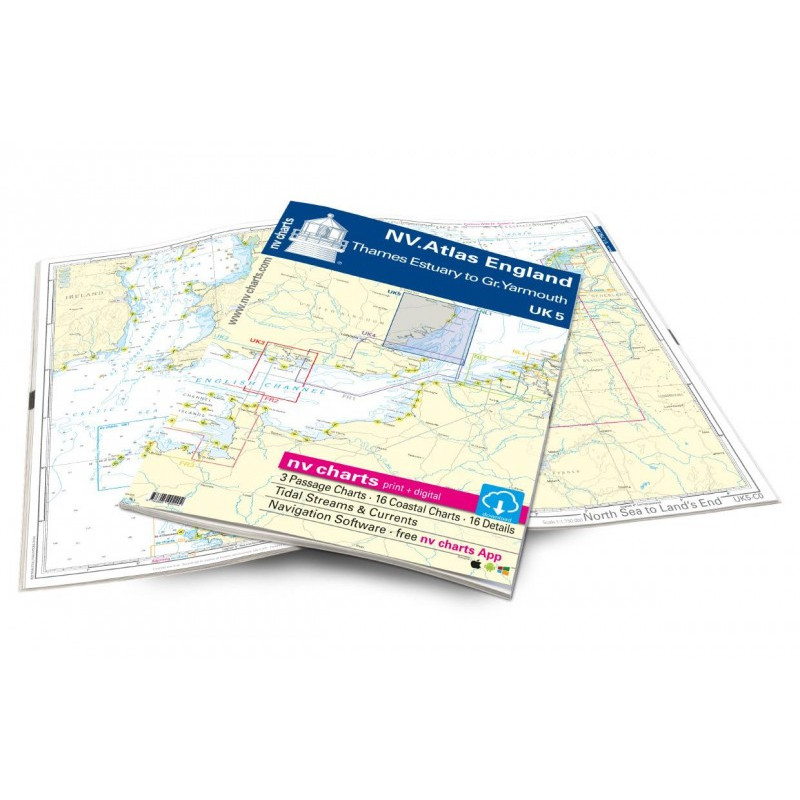
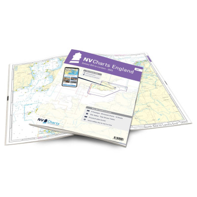
NV Atlas England - UK 5 - Thames Estuary to Great Yarmouth
Description
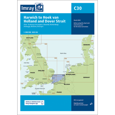
The UK5 is suitable for those who want to set off from the Netherlands towards the east coast of England above London. But even those who want to continue exploring the coast northwards from Sussex are well equipped with this atlas. The Suffolk coast as well as Essex including the estuary into the Thames are covered by this atlas. Cities such as Harwich, Ipswich and Lowestoft can also be found in this atlas. There is the possibility to go along the English coast towards Scotland. We would be happy to put together individual charts from Imray or the British Admiralty for you.
Our charts are based on official data from the United Kingdom Hydrographic Office (UKHO) and contain additional harbour plans and details for approaches and passages in the waters. Thanks to the clear structure, the skipper can quickly find tide data, approaches, harbours and anchorages and is informed of important navigational details that also appear in the NV Charts app. The chart series impresses with its optimal scales and balanced sheet cuts.
This chart set includes
3 oversewers16 precinct charts
16 detailed charts
Code for the app
Digital charts & navigation program
Navigation instructions in English
Tide tables
Paper harbour charts & Digital
Meets legal requirements for up-to-date paper charts on board




 Cookies