- menu title
-
Custom Menu
add remove
-
Navigation
add remove
-
menu title
add remove
-
menu title
add remove
-
menu title
add remove
-
menu title
add remove
-
menu title
add remove
- menu title
-
Custom Menu
add remove
- Navigation add remove
-
menu title
add remove
-
menu title
add remove
-
menu title
add remove
-
menu title
add remove
-
menu title
add remove
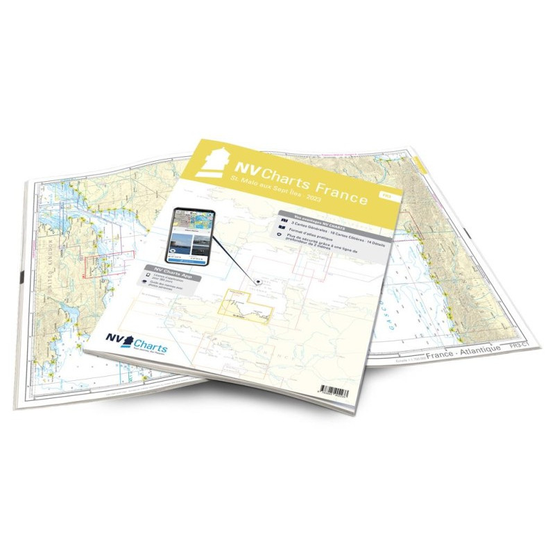
NV Atlas France - FR 3 - St. Malo aux Sept Îles
Description
With St. Malo in Northern Brittany, FR3 offers an attractive starting point. Otherwise you should always watch out for the wind on this delightful coast with it’s beautiful beaches. In addition to the tidal range of almost 14m, unpleasant currents can trigger eddies that should not be underestimated. The recommended port is the Marina Saint-Quay-Portrieux with its 1030 berths. The approach there is independent of tides and weather (from the south-east and north-west) and possible both in daylight and at night. One follows the fairway concreting or the leading light lines. Saint-Quay-Portrieux is located on the Baie de Saint-Brieuc near Plouha, where at 104 meters there are the highest cliffs in Brittany.
Thanks to the clear structure, the skipper can quickly find approaches, harbours and anchorages and is informed of important navigational details that also appear in the NV Charts app. The chart series impresses with its optimal scales and balanced sheet cuts.
This chart set contains
3 Passage Charts10 Coastal Charts
14 Details Charts
Code for the app
Digital charts & navigation programme
Navigation notes in English and French
Tide tables
Paper harbour plans & Digital
Meets legal requirements for up-to-date paper charts on board










 Cookies