Close arrow_back
- menu title
-
Custom Menu
add remove
-
Navigation
add remove
-
menu title
add remove
-
menu title
add remove
-
menu title
add remove
-
menu title
add remove
-
menu title
add remove
- menu title
-
Custom Menu
add remove
- Navigation add remove
-
menu title
add remove
-
menu title
add remove
-
menu title
add remove
-
menu title
add remove
-
menu title
add remove
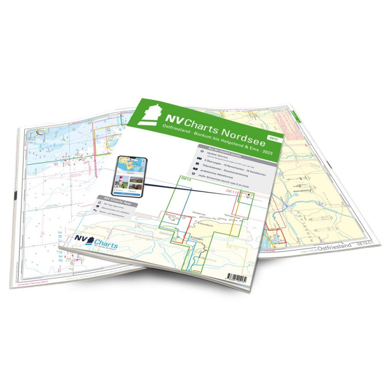
NV. Ostfriesland DE 13 - Borkum bis Helgoland & Ems
Edycja: 2024
NV Atlas Nordsee DE13 - Ostfriesland, Borkum bis Helgoland & Em to mapa morska obejmująca obszar od wyspy Borkum na zachodzie po Helgoland na wschodzie oraz ujście rzeki Em. Zawiera informacje nawigacyjne, pogodowe i turystyczne, a także plany portów i zatok.
Podobne z kategorii
Availability: Out of stock
Edycja: 2022/23
Availability: Out of stock
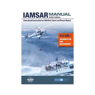
The *Organization and Management* volume discusses the global search and
rescue (SAR) system concept, establishment and improvement of national
and regional SAR systems, and cooperation with neighbouring States to
provide effective and economical SAR services.
A new edition of the IAMSAR Manual is published every three years. The
2022 edition includes amendments, adopted by the International Civil
Aviation Organization (ICAO) and approved by the Maritime Safety
Committee of the International Maritime Organization (IMO) at its 103rd
session in May 2021 by means of MSC.1/Circ.1640, which become applicable
on 1 June 2022.
Availability: Out of stock
Availability: Out of stock
Edycja: 2022








 Cookies