Close arrow_back
- menu title
-
Custom Menu
add remove
-
Navigation
add remove
-
menu title
add remove
-
menu title
add remove
-
menu title
add remove
-
menu title
add remove
-
menu title
add remove
- menu title
-
Custom Menu
add remove
- Navigation add remove
-
menu title
add remove
-
menu title
add remove
-
menu title
add remove
-
menu title
add remove
-
menu title
add remove
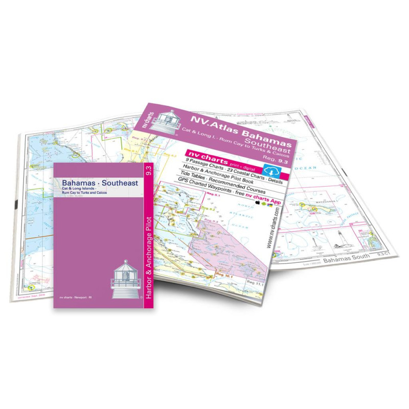
NV Atlas Reg. 9.3 - Bahamas South East - Cat & Long Island - Rum Cay to Turks & Caicos - pakiet map
Edycja: 2022/2023
Description
Cat & Long Island, Rum Cay to Turks & Caicos. 9 cruisers, 23 coastal charts, incl. "Harbour & Anchorage Pilot Book" and tide tables 2016-18. 30x42cm format, paperback. In English language. The set includes a download code for all maps of the area in nv.digital format for use with the navigation programme "Chart Navigator light" as well as with smartphone/tablet (Apple: iOS/MacOSX, Android, Windows 7/8). Now in atlas format
Cat & Long Island, Rum Cay to Turks & Caicos. 9 cruisers, 23 coastal charts, incl. "Harbour & Anchorage Pilot Book" and tide tables 2016-18. 30x42cm format, paperback. In English language. The set includes a download code for all maps of the area in nv.digital format for use with the navigation programme "Chart Navigator light" as well as with smartphone/tablet (Apple: iOS/MacOSX, Android, Windows 7/8). Now in atlas format

















 Cookies