- menu title
-
Custom Menu
add remove
-
Navigation
add remove
-
menu title
add remove
-
menu title
add remove
-
menu title
add remove
-
menu title
add remove
-
menu title
add remove
- menu title
-
Custom Menu
add remove
- Navigation add remove
-
menu title
add remove
-
menu title
add remove
-
menu title
add remove
-
menu title
add remove
-
menu title
add remove
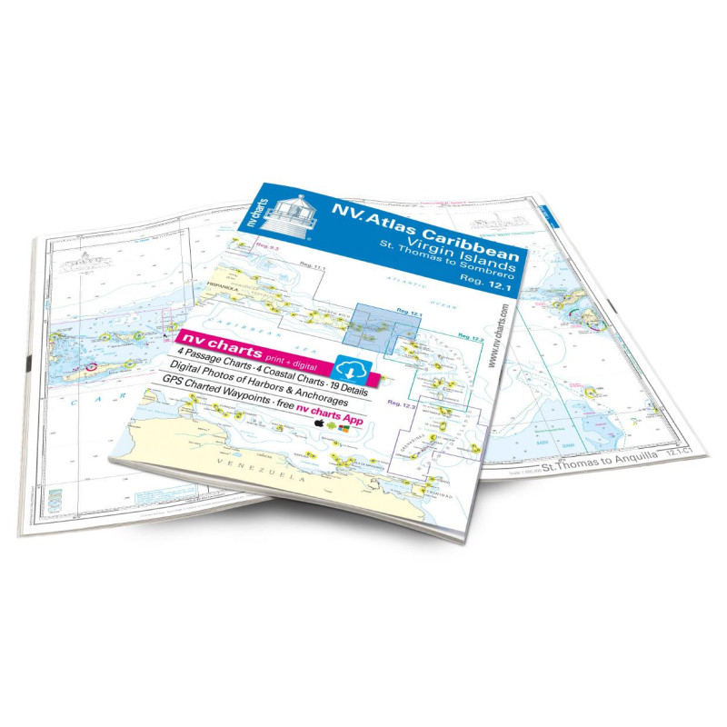
NV. Caribbean Reg. 12.1 Virgin Islands - St. Thomas to Sombrero - atlas map
Description
St. Thomas to Sombrero. 4 oversailers 4 coastal and 19 detailed maps with "Harbour & Anchorage Pilot" integrated. Format 30x42cm paperback. In English language. The set includes a download code for all maps of the area in nv.digital- format for use with the navigation programme "Chart Navigator light" as well as with smartphone/tablet (Apple: iOS/MacOSX Android Windows 7/8/10). Now in atlas format!
The NV charts are characterised by fine contours and easily distinguishable colour gradations for the depth contours. Turquoise for coral reefs red for the 2-metre line and blue for the 5-m shallow water areas. The graphic representation of topography is particularly important when sailing in Caribbean waters.
Well-marked rivers towns and road maps help to provide a quick overview of the coastline and shore-based utilities. Waypoints marked in red with coordinates in the WGS84 system help skippers on board and enable reliable waypoint navigation with GPS devices and chartplotters. Elevations and depths are in the internationally recognised metre format. Numerous detailed plans with large scales allow safe approach and easy entry into bays anchorages and marinas.











 Cookies