- menu title
-
Custom Menu
add remove
-
Navigation
add remove
-
menu title
add remove
-
menu title
add remove
-
menu title
add remove
-
menu title
add remove
-
menu title
add remove
- menu title
-
Custom Menu
add remove
- Navigation add remove
-
menu title
add remove
-
menu title
add remove
-
menu title
add remove
-
menu title
add remove
-
menu title
add remove
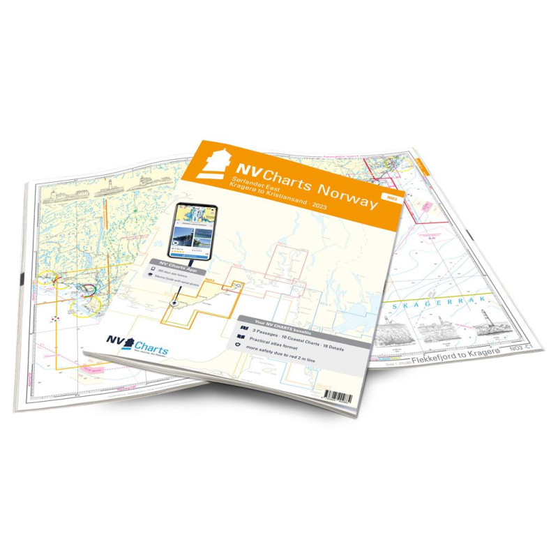
NV. NO 3 Norge Sørlandet Øst - Kristiansand til Kragerø - atlas map
Description
From the popular Kragerø, you can use this chart set to make your way along the gorgeous archipelago coast with its approximately 500 small islands via Risør in the direction of Kristiansand, relatively sheltered. The climate becomes milder and you come to Norway's southern coast, where the Skagerrak meets the North Sea. From there you can either continue along the Norwegian coast (NO4) or cross in the direction of Skagen to the Limfjord (series 9).
NV charts for the Norwegian coast are based on data from the Norwegian Hydrographic Office and also contain the harbour plans of the “Norske Los” as well as numerous, specially charted details. Thanks to the clear structure, the skipper can quickly find approaches, harbours and anchorages and is informed of important navigational details that also appear in the NV Charts app. The chart series impresses with its optimal scales and balanced sheet cuts.
This chart set contains
3 general charts10 district charts
18 detailed charts
Digital charts & navigation programme
Paper harbour plans & Digital
Navigational Notes in English and Norwegian








 Cookies