Close arrow_back
- menu title
-
Custom Menu
add remove
-
Navigation
add remove
-
menu title
add remove
-
menu title
add remove
-
menu title
add remove
-
menu title
add remove
-
menu title
add remove
- menu title
-
Custom Menu
add remove
- Navigation add remove
-
menu title
add remove
-
menu title
add remove
-
menu title
add remove
-
menu title
add remove
-
menu title
add remove
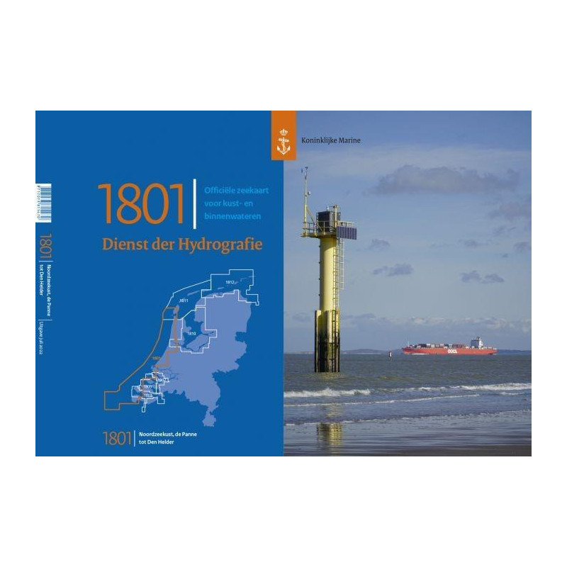
NL 1801 Noordzeekust De Panne tot Den Helder
Chart format
Dutch recreational boat charts are handy charts in 52 x 38 cm format. They contain all the necessary map sections for the respective areas in the best scales. They are printed in colour are very clear and as a special feature contain prominent landmarks in graphic representation.














 Cookies