Close arrow_back
- menu title
-
Custom Menu
add remove
-
Navigation
add remove
-
menu title
add remove
-
menu title
add remove
-
menu title
add remove
-
menu title
add remove
-
menu title
add remove
- menu title
-
Custom Menu
add remove
- Navigation add remove
-
menu title
add remove
-
menu title
add remove
-
menu title
add remove
-
menu title
add remove
-
menu title
add remove
NV Pilot 2 - North Sea - Falmouth to Kristiansand - Inverness - mapa pilotowa
Edycja: 2023
Description
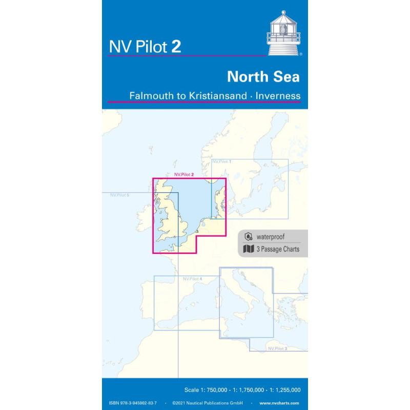
NV Pilot 2, North Sea - Falmouth to Kristiansand - Inverness
The Pilot 2 from NV Charts is the planning chart you need for the North Sea. The west coast of Denmark, the German North Sea and the coast of the Netherlands are covered in this chart. You will also find the area around the English Channel and the east coast of Great Britain. The waterproof nautical chart is a great help for tour planning and provides valuable information on currents and prevailing winds.
This folding map consists of three overview maps
Map 1, scale 1:750,000 > the southwestern North Sea and German Bight from Dover to Helgoland as well as Dogger Bank in the north
Map 2, scale 1:750,000 > English Channel from Falmouth/Ushant to Dover in scale
Map 3, scale: 1:1,255,000 > North Sea from Great Yarmouth to Kristiansand, Inverness as well as the south coast of Norway.
All three maps show the beacons, oil rigs, traffic separation areas and wind farms that are important for passage planning. The designations are in English. The map is in A1 format, folded approx. 15 x 30 cm and waterproof.












 Cookies