- menu title
-
Custom Menu
add remove
-
Navigation
add remove
-
menu title
add remove
-
menu title
add remove
-
menu title
add remove
-
menu title
add remove
-
menu title
add remove
- menu title
-
Custom Menu
add remove
- Navigation add remove
-
menu title
add remove
-
menu title
add remove
-
menu title
add remove
-
menu title
add remove
-
menu title
add remove
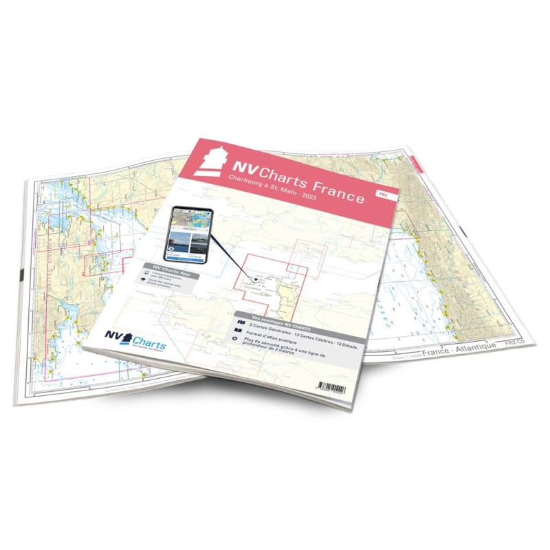
NV France - FR2 - Cherbourg à St. Malo - atlas map
Description
Everyone who is drawn to the wonderful Channel Islands is well served with the FR2. This trip has to be well prepared, because as harmless and romantic the individual islands are, the more treacherous the crossing can be. You should avoid wind against tide situations and should have your own dinghy to get to some islands. The coast from Cherbourg to St. Malo offers not only historical things like Le Mont-Saint-Michel but also fantastic beaches and sometimes a tidal range of 14m. In addition, this stretch of coast trumps with some beautiful towns that stand for the special atmosphere of Brittany. We can particularly recommend Saint-Malo - a city with a historic center that is completely surrounded by a city wall.
Thanks to the clear structure, the skipper can quickly find approaches, harbours and anchorages and is informed of important navigational details that also appear in the NV Charts app. The chart series impresses with its optimal scales and balanced sheet cuts.
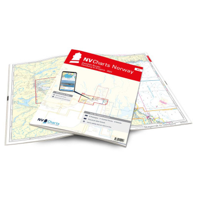
This map set contains
4 Passage Charts13 Coastal Charts
13 Details Charts
Code for the app
Digital charts & navigation program
Navigation instructions in English and French
Tide tables
Paper harbour plans & Digital
Meets legal requirements for up-to-date paper charts on board





 Cookies