- menu title
-
Custom Menu
add remove
-
Navigation
add remove
-
menu title
add remove
-
menu title
add remove
-
menu title
add remove
-
menu title
add remove
-
menu title
add remove
- menu title
-
Custom Menu
add remove
- Navigation add remove
-
menu title
add remove
-
menu title
add remove
-
menu title
add remove
-
menu title
add remove
-
menu title
add remove
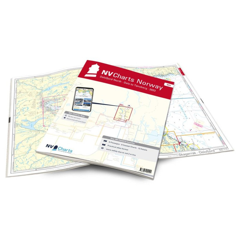
NV. NO 1 Norge Oslofjord Nord - Oslo til Tønsberg - atlas map
Description
The region around Oslo is covered in the chart set NO1. If you are already in the Oslofjord, then you should definitely head to the Norwegian capital Oslo. The much-frequented fjord tapers off after passing the island of Jeløya (Moss). Even this densely populated area of Norway delights with its lovely landscape and colourful wooden houses. The largest island in the inner Oslo fjord is Håøya. Here you will find delightful anchorages before continuing on to Oslo. Oslo has reinvented itself in the last 10 years and has a lot to offer on land too. Norway's capital has a large number of guest berths in quiet or livelier areas. Most ports even have spaces for mega yachts. If you want it quieter, reserve a place on the island of Hovedøya just outside the city center. A ferry takes passengers from here to the city. With the chart set NO1 you are perfectly equipped. With this charts, skippers will find all relevant details and information for their trip in the area from Oslo to Tönsberg. The NV Atlas NO1 is the connection chart of the NO2, which leads you into the Oslofjord.
NV charts for the Norwegian coast are based on data from the Norwegian Hydrographic Office and also contain the harbour plans of the “Norske Los” as well as numerous, specially charted details. Thanks to the clear structure, the skipper can quickly find approaches, harbours and anchorages and is informed of important navigational details that also appear in the NV Charts app. The chart series impresses with its optimal scales and balanced sheet cuts.
This chart set contains
6 Passage Charts9 Coastal Charts
14 detailed charts.
Digital charts & Navigation programme
Harbour charts paper & Digital
Navigation instructions in English and Norwegian






 Cookies